


GOES-T will keep an eye on atmospheric events that can lead to floods, like heavy rain or rapid melting snow and ice. After flooding occurs, satellites can be used to spot flooded regions from space. Read more NOAAScijinks and get ReadytoGOES:
Geography can also make an area more likely to flood. For example, areas near rivers are often at risk for floods. Urban areas are also at higher risk for floods because rooftops funnel rainfall to the ground below, and paved surfaces such as highways and parking lots prevent the ground from absorbing the rain.
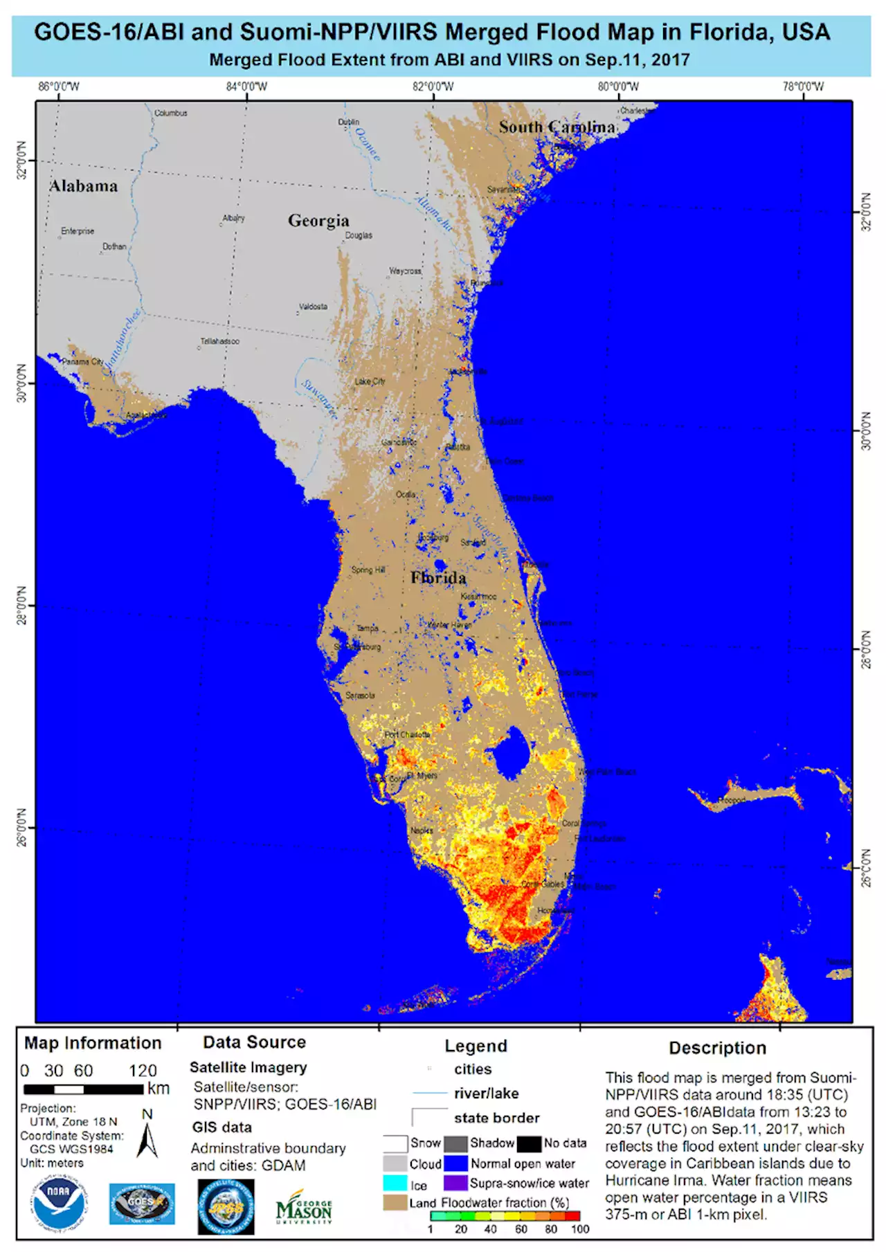
Flooding in the streets of downtown Cedar Rapids, Iowa. Paved surfaces can't absorb rain, so urban areas are at risk for flooding. Credit: Don Becker, USGS Mountains or steep hills can increase an area’s flood risk, too. Rain or snowmelt running down a mountain can cause streams and rivers to rise quickly. In fact, if a thunderstorm lingers over a mountain, a creek only 6 inches deep can swell to a 10-foot-deep river in less than an hour.Flash floods are very dangerous floods that can happen with little or no warning. When there is more rain than the soil can absorb, the excess water quickly runs into rivers and creeks, overwhelming storm drains and ditches and causing a flash flood. Flash floods can cause water to rise significantly in a short amount of time.Several different weather conditions can cause extreme rainfall in a region.form in some tropical and subtropical areas, usually in the summer and fall. When they appear in the Atlantic Ocean or the northwest part of the Pacific Ocean and reach a certain intensity, they are called hurricanes. Tropical cyclones can produce huge amounts of rain, causing flooding and flash flooding once the storm reaches land. They can also send a rush of water from the ocean onto coastlines in an event called a storm surge, which floods low-lying areas. This image from NOAA’s GOES-East satellite shows Hurricane Florence moving toward the Southeastern U.S. in September 2018. Florence dropped nearly 36 inches of rain in Elizabethtown, North Carolina, and led to widespread flooding throughout the Carolinas. Credit: NOAA. Atmospheric rivers are long, narrow conveyor belts of moisture that move through the atmosphere. Strong atmospheric rivers can deliver enormous amounts of rain and snow in California, the Pacific Northwest and Alaska, especially during the winter months. This can lead to serious flooding and mudslides.How do satellites help during floods? Weather satellites, like those in NOAA’s Geostationary Operational Environmental Satellite-R series, keep an eye on atmospheric events that can lead to flooding. For example, the GOES-R series satellites are equipped with an instrument called the Advanced Baseline Imager , which can detect and monitor the formation of atmospheric rivers. The ABI can also determine the amount of total moisture in the atmosphere from the ground all the way to the top of the atmosphere. This provides useful information for weather forecasters to improve predictions for heavy rains and flash flooding and help people stay safe. After flooding occurs, weather satellites can also be used to spot heavily flooded regions from space. Information from GOES-R and the NOAA-NASA Suomi NPP satellite can be used to create “flood maps.” These maps help officials quickly determine where to send help and resources during a flood. This flood map shows the impact of Hurricane Irma in Florida on Sept. 11, 2017. Colors correspond to the fraction of land covered by water, ranging from green to red . Credit: NOAA/CIRA
United States Latest News, United States Headlines
Similar News:You can also read news stories similar to this one that we have collected from other news sources.
 COVID-19 pandemic causes 'broken heart' syndrome cases to surge: researchersResearch has reportedly identified a spike in cases of Takotsubo cardiomyopathy, or 'broken heart syndrome,' over the course of the coronavirus pandemic.
Read more »
 Girls Ice Hockey Top 5, Feb. 8: Big upset causes a shiftA look at the latest girls hockey rankings for Feb. 8.
Read more »
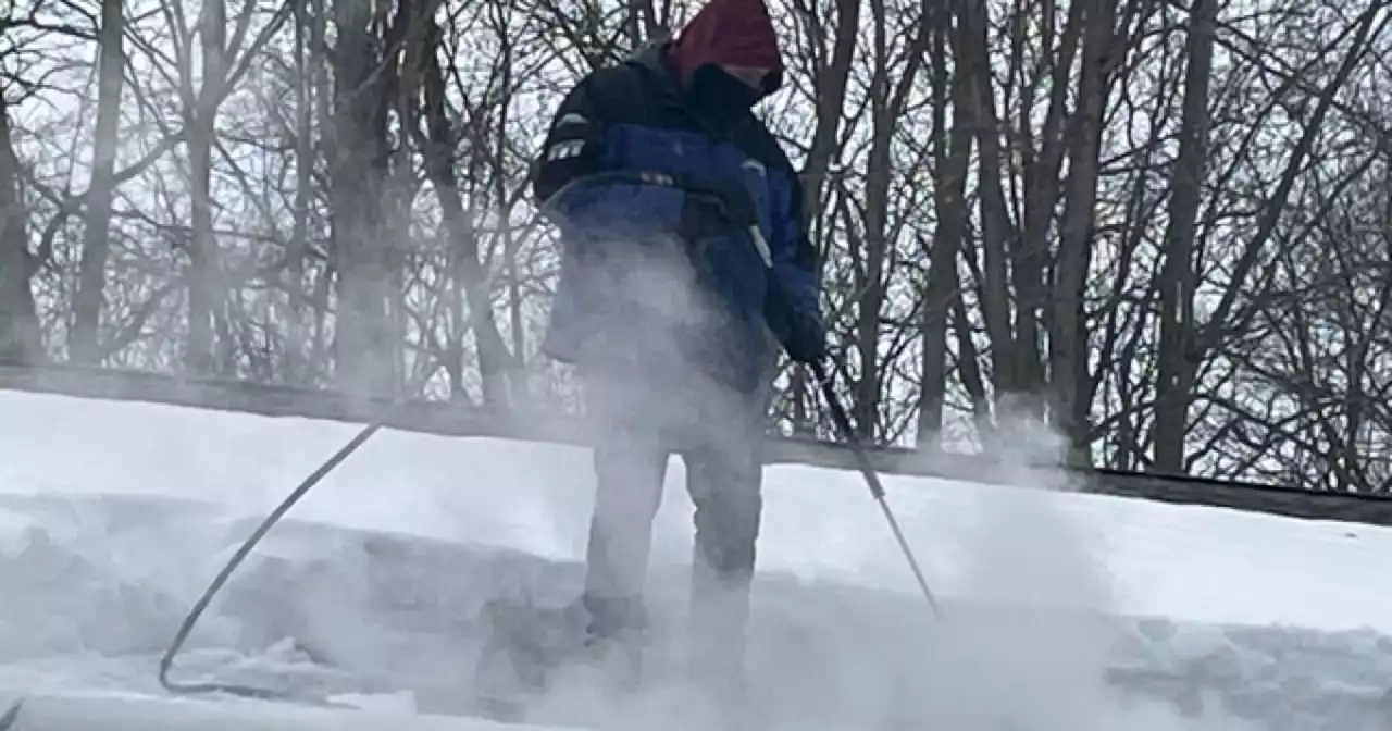 Dam Problem: Heavy snow, ice on roofs causes trouble'This is what happens whenever Mother Nature calls and she'll call at any time of the day and there's no stopping her.'
Read more »
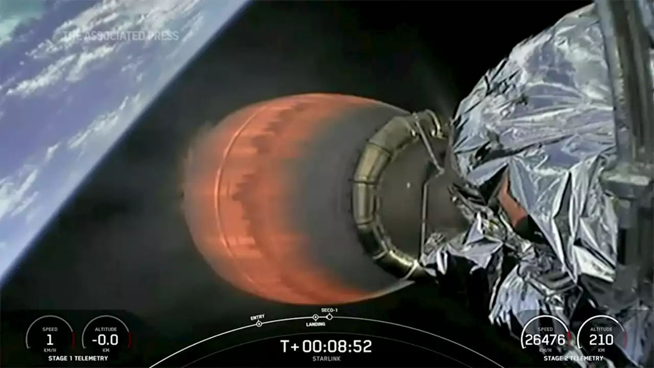 Geomagnetic storm causes SpaceX's newest fleet of satellites to tumble out of orbit, burn upUp to 40 satellites launched last week have either reentered the atmosphere and burned up, or are on the verge of doing so.
Read more »
 Overloaded electrical block causes Beachwood office fire'The use of extension cords or strips is highly discouraged and should never be used with appliances. '
Read more »