
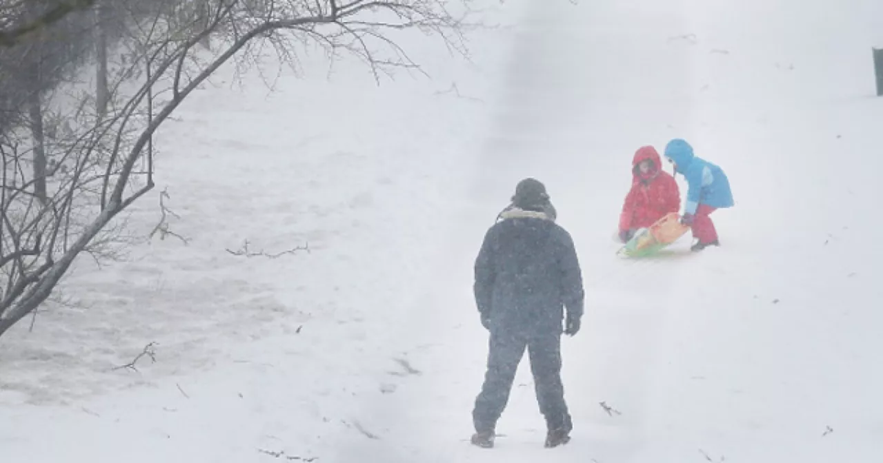
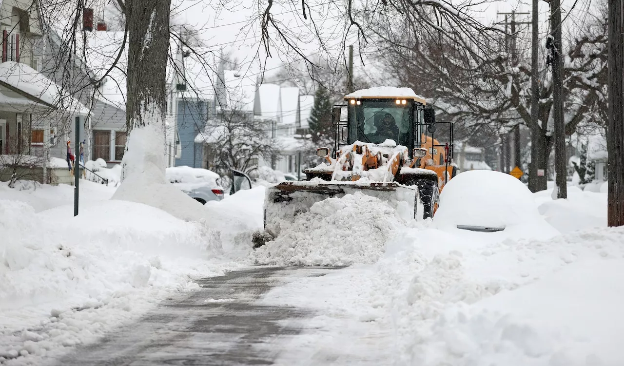
Heavy lake effect snow expected in several Ohio counties. Up to 10 inches possible in some areas.
Lake Effect Snow Warnings are in effect for Lake, Geauga, & Ashtabula Counties from 7am Friday through 7am Sunday morning due to the potential for heavy lake effect snow . Lake Effect Snow Warnings are also in effect for Cuyahoga, Summit, & Portage Counties from 7am Friday through 7pm Saturday evening. 3-6 inches of snow is possible in heavier snow bands.Winter Weather Advisories are in place for Lorain, Medina, Stark, Trumbull & Mahoning Counties from 7am Friday through 1pm Saturday afternoon.
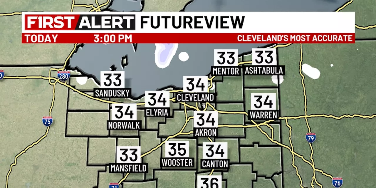
2-5 inches of snow is possible in snow bands.Winter Weather Advisories are also in effect for Tuscarawas, Carroll, Columbiana, & Coshocton Counties until 10am Friday morning. 1-3 inches of snow is possible.More lake effect snow bands are expected on the heels of our morning snow. Some of the bands will have Lake Huron and even Lake Michigan connections. This means a few spots in very narrow bands across the lake effect snow warned counties could see 6 inches or more of snow late Friday through the day on Saturday. A couple of spots in Geauga and Ashtabula Counties could top 10 inches. Another stronger Winter Storm approaches the Ohio Valley Sunday night & Monday. Parts of our viewing area could be impacted with more snow. We will have to wait and see where the storm center goes before we can predict where and how much snow will fall here on Monday. Stay tuned!The pattern of cold, breezy and at times snowy conditions looks to continue. Prepare now for a couple weeks of cold, snow and wind.
LAKE EFFECT SNOW WINTER STORM SNOW WARNINGS OHIO WEATHER WINTER WEATHER ADVISORY
United States Latest News, United States Headlines
Similar News:You can also read news stories similar to this one that we have collected from other news sources.
 Another round of Lake Effect Snow Warnings and Advisories for parts of NE OHMark Johnson has been News 5's Chief Meteorologist since 2003.
Read more »
 Lake Effect Snow Warnings IssuedLake effect snow warnings are in effect until Thursday evening as frigid air over Lake Erie brings heavy snow. The storm will bring cold temperatures and high wind chills throughout the week.
Read more »
 Lake Effect Snow Watch Issued for Cuyahoga, Geauga, and Lake CountiesThe National Weather Service has issued a winter weather watch for Cuyahoga, Geauga, and Lake counties from Friday until Sunday morning due to a lake effect snow storm. The watch is in effect on top of an existing lake effect snow warning that remains in effect until Thursday evening. Meteorologists predict 7 to 12 inches of snow accumulation, with the heaviest snowfall expected in Geauga County and eastern Cuyahoga County.
Read more »
 Lake-effect snow warning in effect as Arctic front approachesThe National Weather Service says the cold front will generate 5 to 10 inches of snow in eastern and southern Cuyahoga County, and in Geauga, southern Lake, northern Summit, and northern Portage counties, as well as northwestern Trumbull County.
Read more »
 Northeast Ohio Forecast: Cloudy Skies, Snow Showers, and Potential for Lake-Effect SnowA detailed weather forecast for Northeast Ohio, including predictions for snow showers, lake-effect snow, and the likelihood of a white Christmas.
Read more »
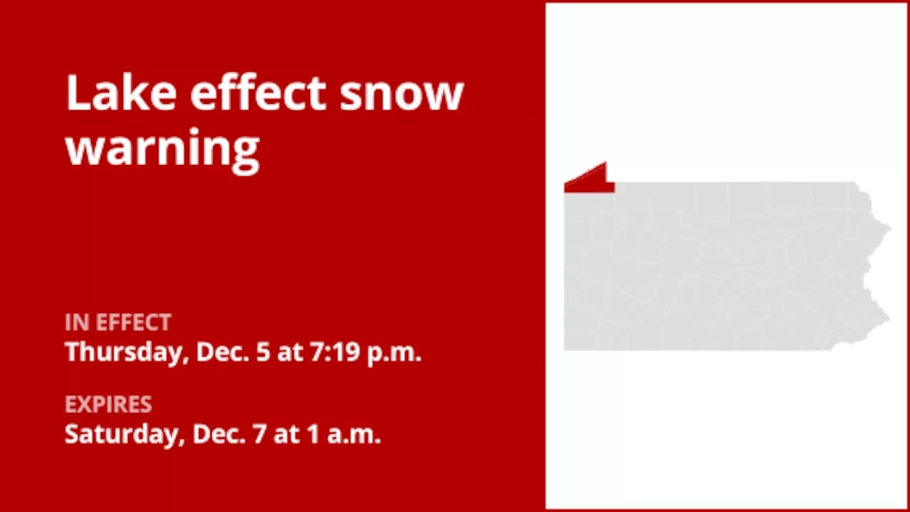 Lake effect snow warning affecting Northern Erie and Southern Erie until 1 a.m. SaturdayA lake effect snow warning was issued by the National Weather Service on Thursday at 7:19 p.m. in effect until Saturday at 1 a.m. for Northern Erie and Southern Erie.
Read more »