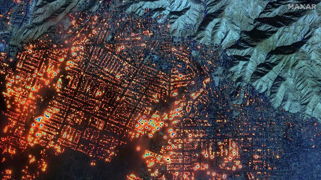
Updated maps released by LA authorities highlight the devastating impact of the Eaton and Pacific Palisades wildfires, revealing the extent of damage to structures across the affected areas.
Los Angeles authorities revealed updated maps of the destruction left by wildfires across the city on Monday. The maps focus on the impact of the Eaton and Pacific Palisades fires, two of the largest and least contained blazes. The maps show destruction on a per-structure basis, with red icons indicating a structure that has been at least 50% destroyed, while orange, yellow and green indicate more minor damage and black indicates no damage at all.
In total, the Eaton fire has impacted 885 structures, of which 674 were more than half destroyed, while 157 avoided damage entirely. The Pacific Palisades fire has impacted 664 structures, of which 485 were more than half destroyed, and just 127 avoided damage. 'Field damage inspections may be ongoing and subject to change as information is gathered and verified. The icons on the map indicate the current known status of the structure,' city authorities noted. More than 12,000 homes and businesses have been burned in the wildfires, with damage assessments still ongoing in affected areas. Last week, Cal Fire reported the Palisades and Eaton Fires to be among the top five most destructive in California history. At least 24 people have been killed in the blazes, though recovery efforts are ongoing. Both the Eaton and Palisades fires started Tuesday last week and have so far burned nearly 40,000 combined acres. The Eaton fire, which is centered around Pasadena, has caused 16 deaths, the Los Angeles County Medical Examiner says. The Palisades fire has claimed eight additional lives, and both fires remain largely uncontained as of Monday morning. Fire authorities have clarified that not all 'structures' referenced in the map are homes or businesses. They say things like sheds and even some vehicles are included in the 'structures' count
WILDFIRES CALIFORNIA DAMAGE DESTRUCTION STRUCTURES
United States Latest News, United States Headlines
Similar News:You can also read news stories similar to this one that we have collected from other news sources.
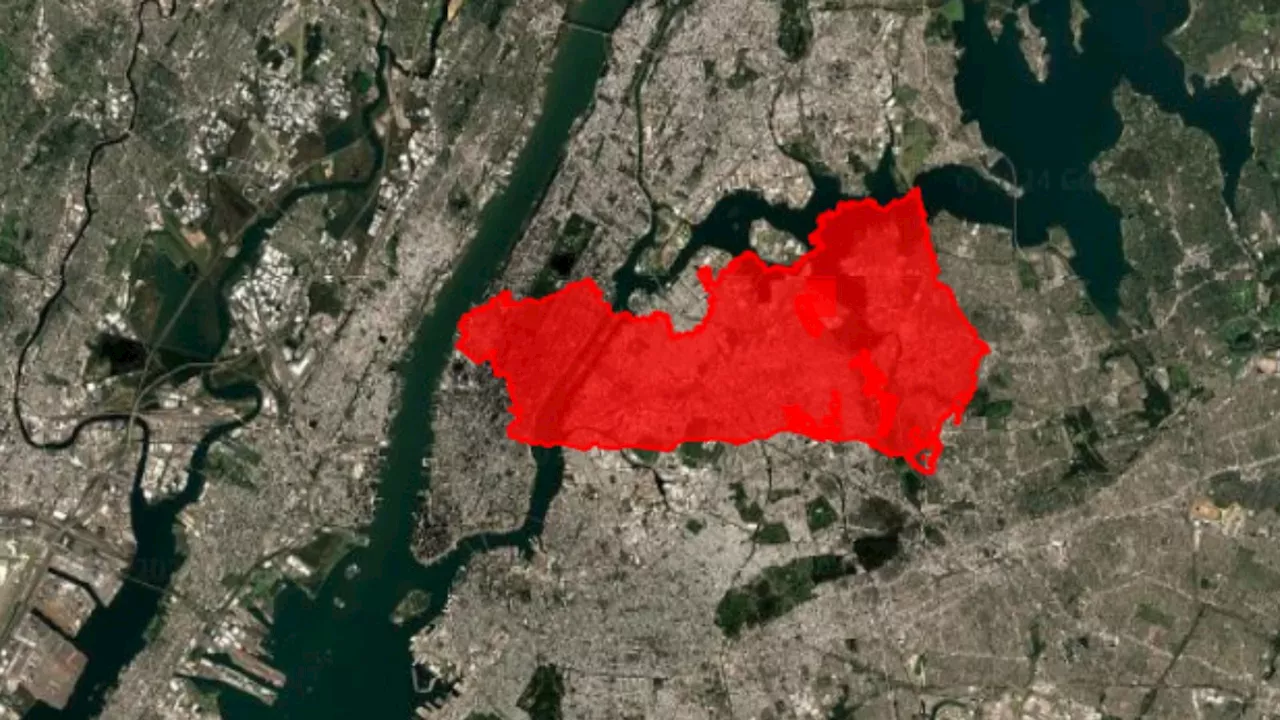 California Fires Map Shows Size of Area Burned Compared to Other CitiesNew maps have revealed the extent of wildfire damage in California.
Read more »
 AG releases video showing inmate from Rochester beaten before death at NY state prisonNew York Attorney General Letitia James released body-worn camera video showing officers beating an inmate who died.
Read more »
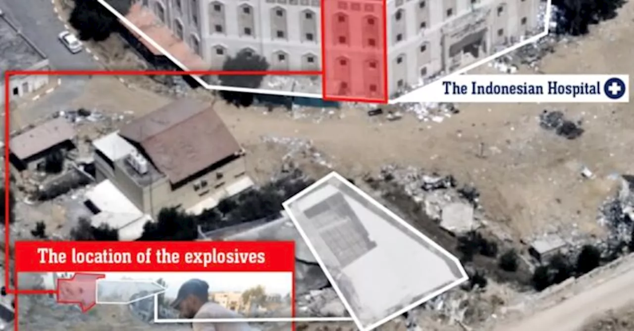 IDF Releases Video Showing Hamas Planting Bomb Near Gaza HospitalThe Israel Defense Forces (IDF) released video footage recovered from Hamas terrorists in Gaza, which shows Hamas planting a large bomb approximately 45 meters from the Indonesian Hospital in northern Gaza. The IDF completed its operational efforts in the area last week, eliminating terrorists attempting to flee the hospital, apprehending additional terrorists, and neutralizing explosive devices.
Read more »
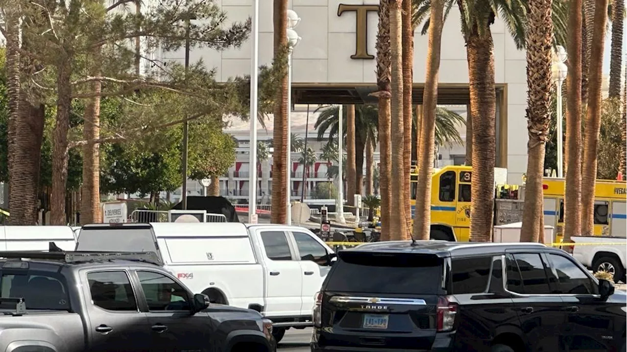 How the Cybertruck blast revealed the extent to Tesla's surveillance capacityMusk or someone with the automaker remotely unlocked the truck for law enforcement officials and provided them video from charging stations.
Read more »
 How the Cybertruck blast revealed the extent to Tesla's surveillance capacityMusk or someone with the automaker remotely unlocked the truck for law enforcement officials and provided them video from charging stations.
Read more »
 How the Cybertruck blast revealed the extent to Tesla's surveillance capacityMusk or someone with the automaker remotely unlocked the truck for law enforcement officials and provided them video from charging stations.
Read more »