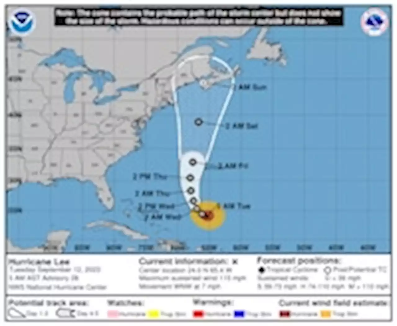
Maine, New Brunswick and Nova Scotia could face some direct impacts, with winds in the higher-end tropical storm to low-end hurricane range. Storm surge could affect Nova Scotia.
Hurricane Lee remained a large and powerful Category 3 hurricane in the open Atlantic early Tuesday, but the risk of eventual impacts to land has increased. The National Hurricane Center has now included parts of Cape Cod and Maine in its extended “cone of concern,” and forecasts the storm to eventually hit Nova Scotia this weekend.By then, Lee will be transitioning into a nontropical storm and weakening — but its wind field will be broadening.
Mid-September is the historic peak of hurricane season, and, technically speaking, if the season ended now, it would still stack up within the range of average. But we’re only at the halfway point — and, in line with preseason forecasts, it’s shaping up to be the eighth extra-active hurricane season in a row.As of 8 a.m. Tuesday morning, Lee had winds of 115 mph. That put it just above the threshold for Category 3 strength, qualifying it as a major hurricane.
United States Latest News, United States Headlines
Similar News:You can also read news stories similar to this one that we have collected from other news sources.
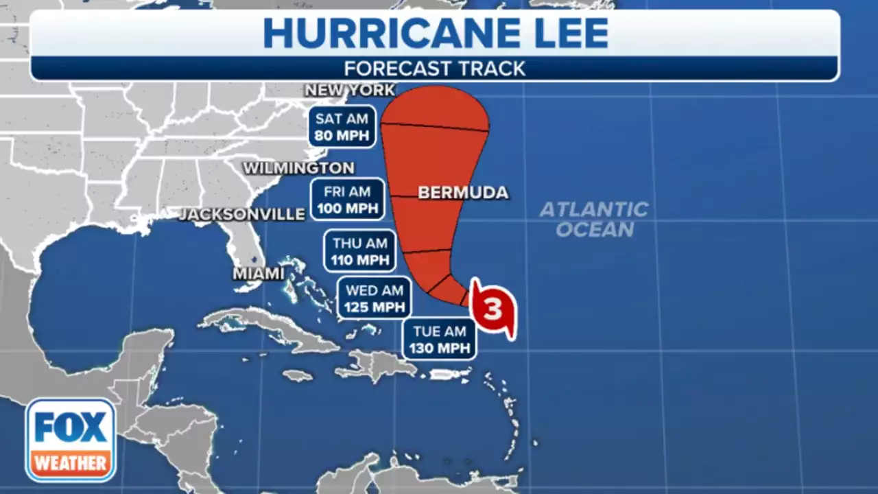 Hurricane Lee remains a major hurricane as East Coast braces for possible impactsThe latest reports show Hurricane Lee has sustained wind speeds of roughly 120 mph, making the storm a Category 3, as it slowly swirls in the southwestern Atlantic.
Read more »
Hurricane Lee restrengthens to major hurricane with dangerous surf arriving to eastern US beaches SundayThe latest analysis shows Lee has sustained wind speeds of around 120 mph, making the storm a Category 3, as it slowly churns in the southwestern Atlantic ocean.
Read more »
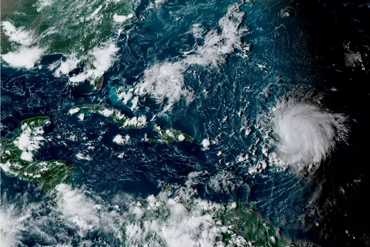 Hurricane Lee likely to pass New England's coast by the end of the weekMassachusetts residents would benefit from grabbing extra supplies and bottles of water over this week, even if they live away from coastlines.
Read more »
 Hurricane Lee to near New England, but impacts all along the East CoastVery high surf, deadly rip currents and possibly coastal flooding threaten later this week as Hurricane Lee begins to climb north off the East Coast.
Read more »
 Lee remains major hurricane as risk of impacts in New England increasesThe storm could sideswipe Bermuda on Thursday before possibly bringing storm hazards to eastern New England by the weekend.
Read more »