
A map showing which roads remain closed as a result of Storm Ciarán has been published by Jersey's government.
The colour-coded tool lets you search for roads and check whether they are clear or remain impassable.
Roads shown in bright green have been checked and clear, pale green and amber urge caution, while red roads are completely impassable. The government says the process of updating the map is a manual one, so it may not always be kept up-to-date - but the data will be refreshed "as soon as it's available".
Want to find out more about the stories making the headlines? Don't miss Channelcast - the Channel Islands current affairs podcast brought to you by ITV News:
United States Latest News, United States Headlines
Similar News:You can also read news stories similar to this one that we have collected from other news sources.
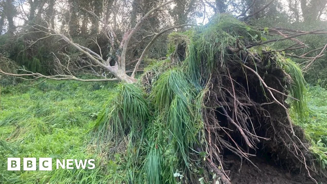 Storm Ciarán: Reservoirs stay closed after storm uproots treesThe 'scale of devastation' to vegetation after Storm Ciarán is worse than expected, Jersey Water says.
Read more »
 Thousands left without water after Storm Ciaran causes issues at treatment worksThames Water said the supply problems followed ‘issues caused by Storm Ciaran at Shalford water treatment works’ in Surrey.
Read more »
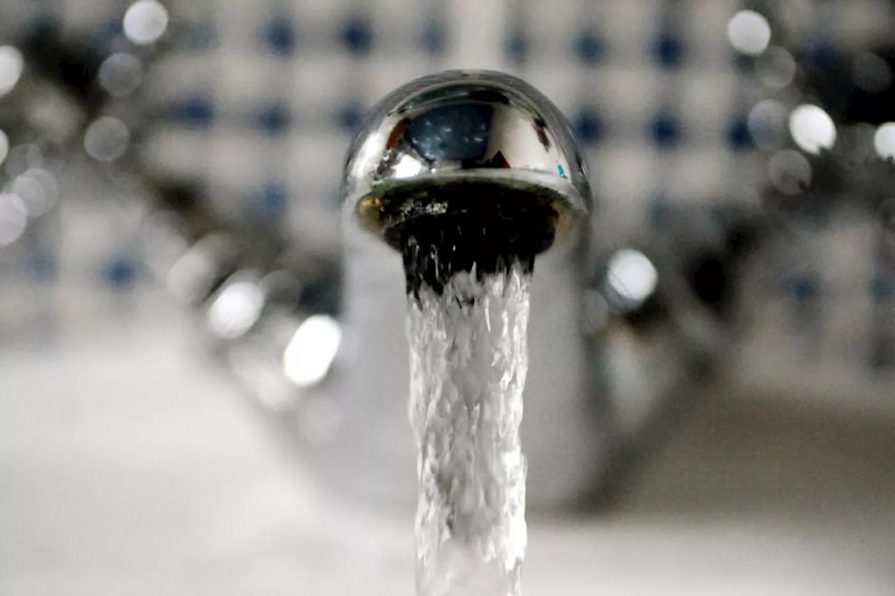 Thousands left without water after Storm Ciaran causes issues at treatment worksThames Water said the supply problems followed ‘issues caused by Storm Ciaran at Shalford water treatment works’ in Surrey.
Read more »
 Tewkesbury bonfire night event cancelled due to flooding following Storm CiaránA waterlogged field means the event will not be going ahead for the second year in a row, despite months of planning.
Read more »