Mark Johnson has been News 5's Chief Meteorologist since 2003.
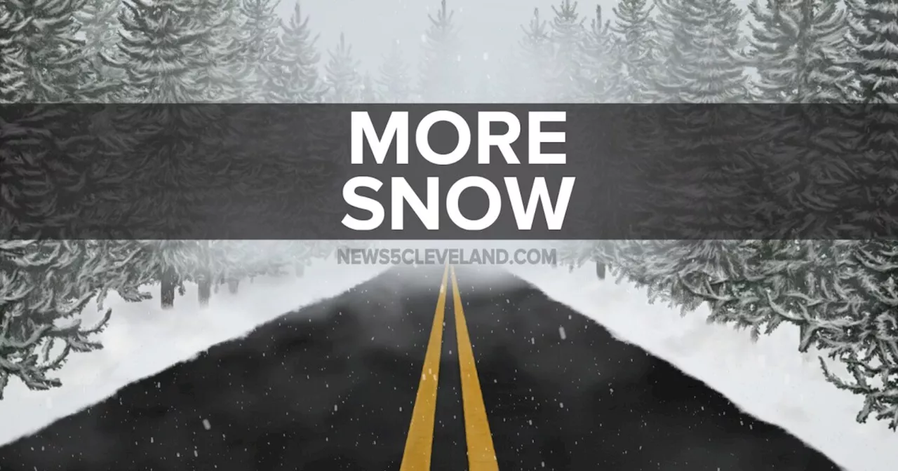
Lake Effect Snow Warnings in effect until 7pm Thursday evening. Frigid cold air blowing over Lake Erie fueling squalls of heavy lake effect snow.Winter Storm WATCH for the potential of more heavy lake effect snow from 7am Friday morning thru 7am Sunday morning.More organized Lake Effect snow developed overnight and should hold all day. Accumulations of 6 to 12+ inches will be possible where squalls persist through this evening.
Thursday: Much Colder with lake effect snow east of Cleveland. | High: 30ºFriday: Cold with a few snow showers. Squalls possible.| High: 28ºSaturday: Colder with lake effect snow. Squalls possible.| High: 26ºSunday: Cold & Cloudy. Snow showers late.
Cleveland Forecast Forecast Northeast Ohio Forecast Northeast Ohio Weather Power Of 5 Weather
United States Latest News, United States Headlines
Similar News:You can also read news stories similar to this one that we have collected from other news sources.
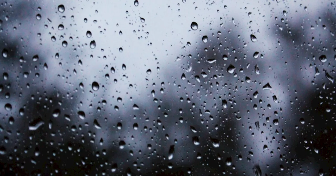
 Get ready for a big thaw along with some weekend rain showersMark Johnson has been News 5's Chief Meteorologist since 2003.
Read more »
 Lake-effect snow + winter weather advisories continue on SaturdayMark Johnson has been News 5's Chief Meteorologist since 2003.
Read more »
 Stay warm!! It will be bitterly cold on Sunday & lake effect gradually endsMark Johnson has been News 5's Chief Meteorologist since 2003.
Read more »
 Warm, wet & windy as we kick off the work weekMark Johnson has been News 5's Chief Meteorologist since 2003.
Read more »
 Freezing Rain Possible across NE OhioMark Johnson has been News 5's Chief Meteorologist since 2003.
Read more »
 Snow Ending for you Friday & warming this weekend!Mark Johnson has been News 5's Chief Meteorologist since 2003.
Read more »