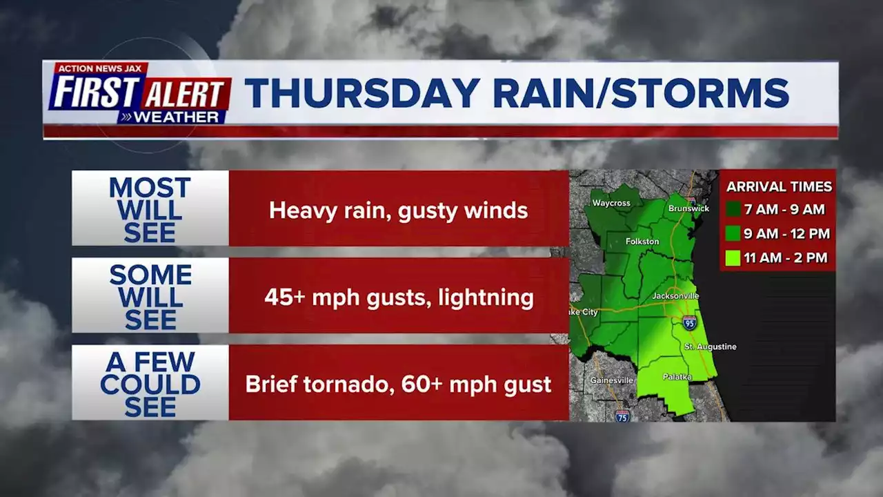
Action News Jax Chief Meteorologist Mike Buresh is tracking a strong cold front that will be moving through the area bringing with it, heavy rain, gusty winds, and an isolated tornado is possible.
Jacksonville FL — Thursday will be a First Alert Weather Day in Northeast Florida due to the threat for severe weather. Action News Jax Chief Meteorologist Mike Buresh is tracking a strong cold front that will be moving through the area bringing with it, heavy rain and some gusty winds. Mike says the “primetime” for storms looks to be between 9 AM and 2 PM from West to East.
There is a chance for isolated tornadoes with this front and Mike says the area that has the greatest threat to see them will be north and west of Jacksonville, but one could spin up elsewhere. At this time, Mike says the storms are expected to move through metro Jacksonville between 11 AM and 1 PM and reach the beaches around 12:30 PM through 2 PM.
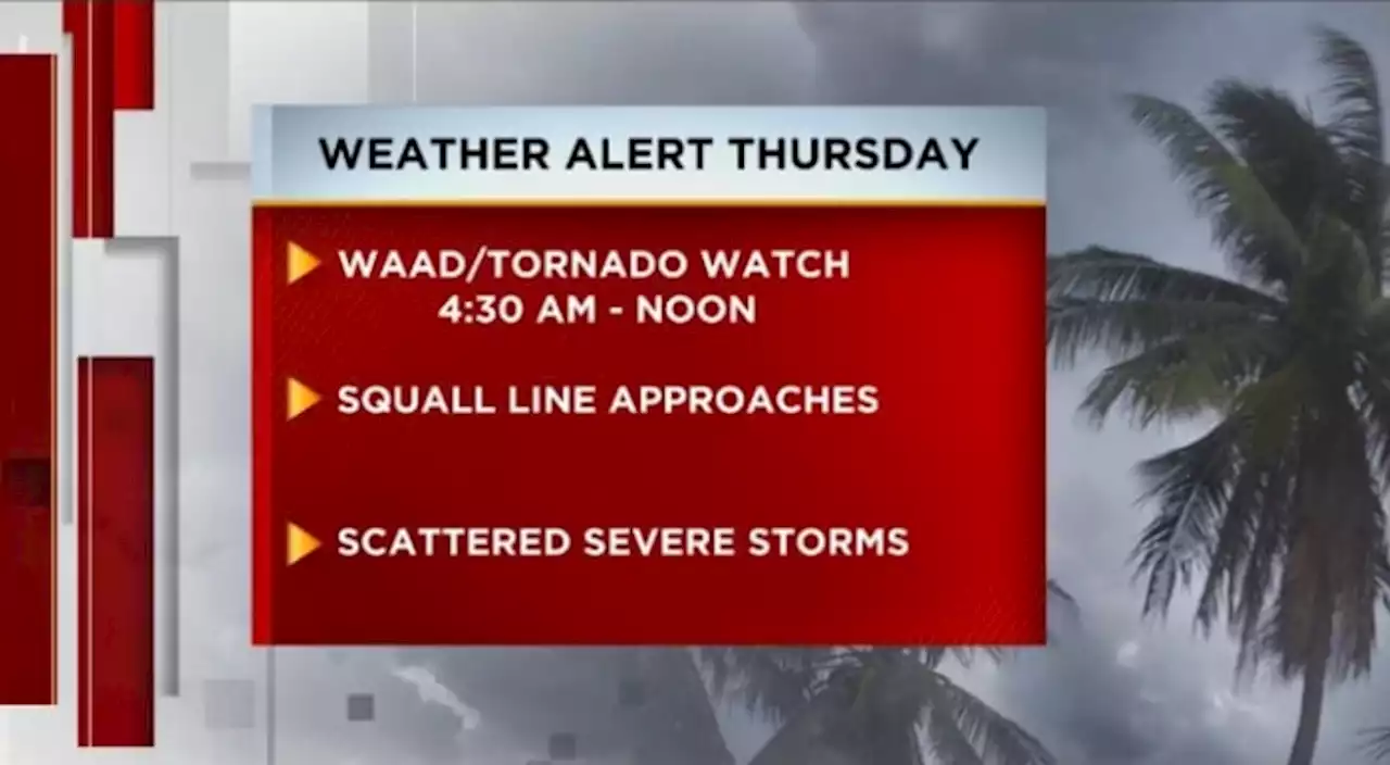
Remember a “Watch” means that conditions are favorable for severe weather and a “Warning” means that a storm is moving in and poses a threat to you or your property. Make sure you know when severe weather is in your neighborhood by signing up for WOKV’s Severe Weather Alerts in the free WOKV app.
United States Latest News, United States Headlines
Similar News:You can also read news stories similar to this one that we have collected from other news sources.
 First Alert Weather: Red Alert for wintry mix of rain and snow Thursday into FridayRed Alert: We're tracking a wintry mix of rain and snow that could make for a messy Thursday into Friday.
Read more »
 Weather Authority Alert: Strong to severe storms possible ThursdayThe threat of strong to severe storms is increasing across all of Northeast Florida and Southeast Georgia.
Read more »
 First Alert Weather: Damaging winds and hail move into DFW overnightA First Alert Weather Day has been issued as damaging winds and hail is expected to move into North Texas during the morning commute.
Read more »
 First Alert Weather Day declared for late Wednesday into Wednesday nightWednesday into Wednesday night is a First Alert Weather Day for the chance of isolated tornadoes and localized flooding.
Read more »
 First Alert Weather Day in effect after tornadoes sweep through North TexasStorms swept through North Texas Tuesday morning, leaving behind damage throughout our local communities. Did you take any photos or videos? If so, share them with us using FirstAlertDFW on Twitter or Instagram. Stay weather aware here:
Read more »
 Icy weather threatens western parts of D.C. area Thursday morningSome roads could be slippery around D.C. and Baltimore early Thursday, while a significant ice storm is possible in the mountains.
Read more »