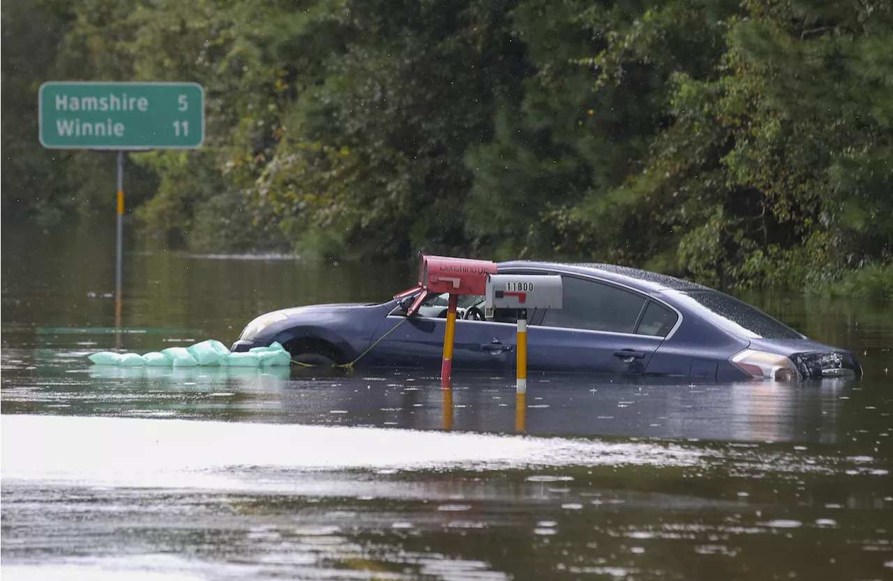
A new TexasFlood.org map shows how the Lone Star State has been hit by a wave of flooding since the weekend.
Major or moderate flooding has taken place across a number of rivers and lakes in Texas, with a particular focus on the region to the northeast of Houston, according to a map published by state government agencies.Large swaths of eastern Texas were hit with torrential downpours over the weekend, which caused the death of a five-year-old boy, who was swept from a car in Johnson County, near Forth Worth.
The Associated Press reported that a number of high-water rescues took place over the weekend, including several from the roofs of flooded buildings, with some roads still waterlogged or blocked by debris.The five-year-old boy died after being swept away from the vehicle he was riding in near Lillian, south of Fort Worth, according to a Facebook post from Johnson County emergency management director Jamie Moore.
United States Latest News, United States Headlines
Similar News:You can also read news stories similar to this one that we have collected from other news sources.
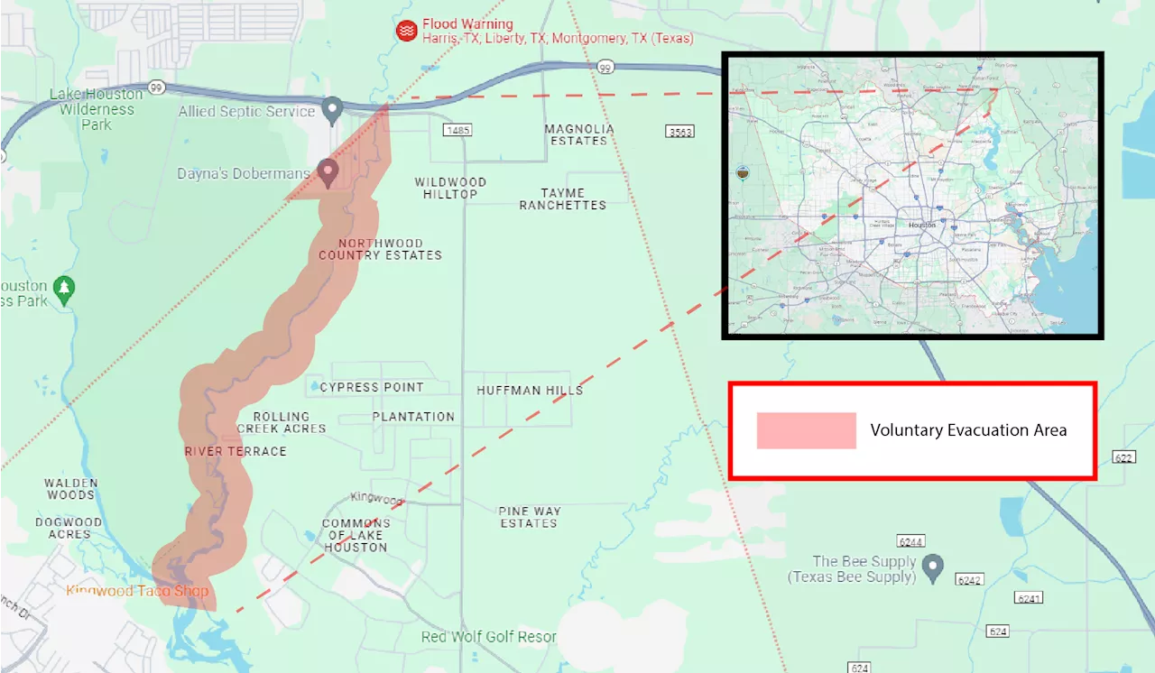 Texas Flood Map Shows Where Residents Told to EvacuateTrinity River has entered a major flood stage and is expected to crest at 30 feet by Friday.
Read more »
 Texas Map Shows Where High Speed Rail Route Would TravelA planned high-speed railway between Houston and Dallas would cut the journey time between Texas's two biggest cities to around 90 minutes.
Read more »
 Texas Map Shows Where State Will Become Underwater From Sea Level RiseSea level rises could cause coastal areas along Texas's stretch of the Gulf of Mexico to be consumed by water, modeling suggests.
Read more »
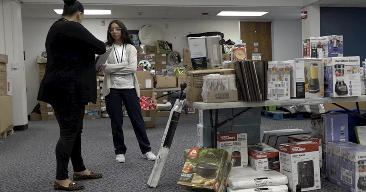 Meet the flood victims working at a new warehouse for flood victimsPerla was born and raised in Orange County, went to UC Berkeley for her Bachelors, and worked in Bakersfield for her first job as a multimedia journalist.
Read more »
 Earthquake Map Shows Biggest Global Tremors in 2024 So FarNewsweek has plotted the biggest earthquakes, of a magnitude 6 or higher, that have occurred around the globe so far this year.
Read more »
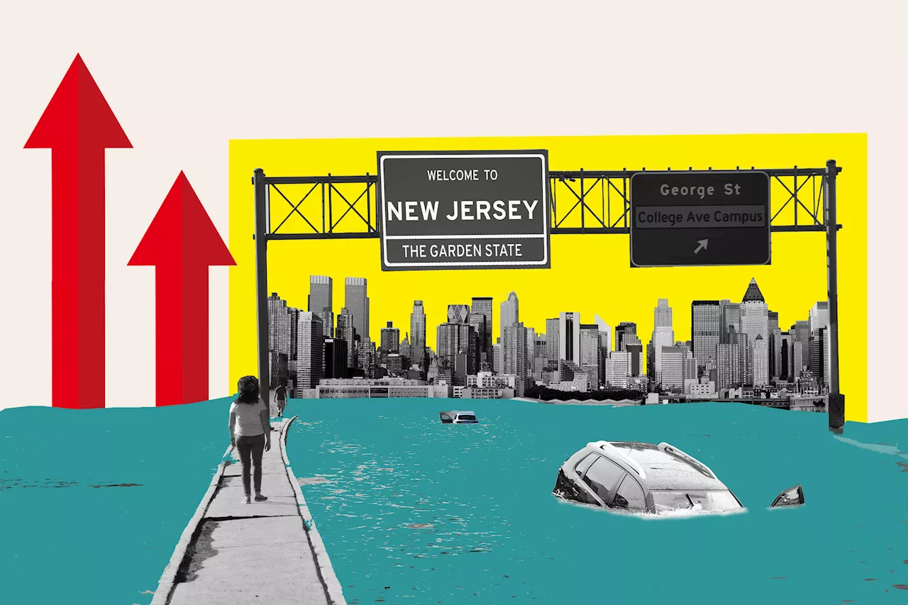 New Jersey Map Shows Where State Could Be Underwater From Sea Level Rise A new interactive map shows how rising sea levels threaten New Jersey's coastline.
Read more »