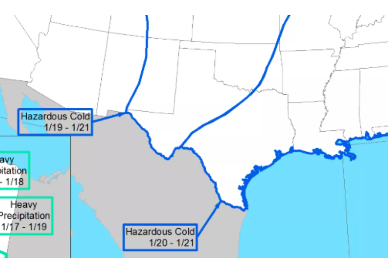
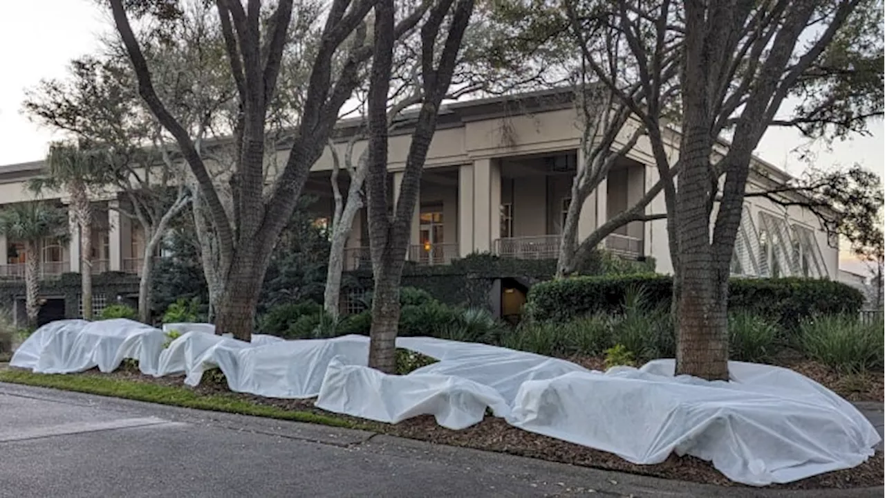
A strong cold front is set to bring frigid temperatures to Texas next week, with widespread hard freezes expected. While the arrival of cold air is certain, the type and amount of wintry precipitation remain uncertain.
Confidence is very high that next week will be especially cold across the Lone Star State. A strong cold front will move across the state on Saturday. Then, reinforcing cold front s will arrive early next week, leading to widespread hard freezes across much of Texas on Monday and Tuesday. However, a lot of uncertainty remains as to how much moisture or wintry precipitation will accompany the incoming arctic air.
And if enough moisture is present, what kind of winter precipitation will South Texas experience – ice, snow or just rain? Temperatures in San Antonio will plummet after the initial cold front slides through Texas on Saturday, with temperatures likely falling to the freezing mark of 32 degrees Sunday morning, then rising only to the upper 40s by the afternoon. The coldest days of the week are likely from Monday through Wednesday. Morning low temperatures are expected in the 20s, well below the freezing mark. Wind chill temperatures will be even colder, likely falling into the teens. Afternoon high temperatures are expected in the 30s, possibly not even rising above freezing on Tuesday. When could precipitation start? Gulf moisture is expected to increase late Monday into Tuesday, which will allow precipitation chances to rise as well. Generally speaking, the current forecast favors a chance of light rain Monday afternoon as temperatures hover just above freezing. However, as temperatures fall Monday night and into Tuesday, a transition to wintry mix is expected. As of now, all types of winter precipitation – including freezing rain, sleet, and snow – are still on the table. Freezing rain tends to cause the most hazardous travel concerns, as it can create a transparent layer of ice on all surfaces, including major roadways. Snow is hazardous as well, but at least it offers more traction than ice does. The exact type of precipitation does not just depend on the temperature near the ground. Instead, it depends on the temperature profile from the ground upward to the base of the clouds. If temperatures are below freezing from the clouds all the way down to the ground, snow would be the dominant type of precipitation. However, if a layer of warmer air forms in between the ground and the clouds, that would allow the precipitation to melt on its way to the ground, before freezing again as it makes contact with the ground. The result is freezing rain or sleet. So what can we expect next week? Unfortunately, it’s too early to tell for sure. There are many meteorological factors at play, and just a few degrees one way or the other can make all the difference between snow or ice. For the time being, here’s what a few weather models are saying. The American GFS model does predict that temperatures will be below freezing through the entire atmosphere on Tuesday, leading to snowfall in San Antonio. On the other hand, the European ECMWF model expects a layer of warmer air to develop about 6,000 feet above the ground, which could lead to freezing rain or sleet for South Texas. Not only does uncertainty remain with the exact precipitation type, a good deal of uncertainty remains about which parts of Texas have the highest chance of winter weather. Stick with expressnews.com/weather for more details on this evolving forecast
TEXAS WEATHER COLD FRONT WINTER PRECIPITATION FREEZING RAIN SLEET SNOW FORECAST TEMPERATURE DROP
United States Latest News, United States Headlines
Similar News:You can also read news stories similar to this one that we have collected from other news sources.
 North Texas Braces for Arctic Blast with Potential for Winter PrecipitationA strong cold front is set to sweep through North and Central Texas, bringing frigid temperatures, strong winds, and a possibility of winter precipitation between Wednesday and next week. The weather service warns of potential travel impacts, particularly in Central Texas.
Read more »
Texas Braces for Continued Arctic Blast as Alaska Sees Unexpected WarmthUnusually frigid temperatures grip Texas, dropping below freezing for several days in a row. Meanwhile, parts of Alaska experience temperatures warmer than usual, with some areas exceeding those in Texas.
Read more »
 Texas Braces for Another Dangerous Arctic BlastThe National Weather Service (NWS) predicts a hazardous cold snap for Texas and large parts of the U.S. later this January, urging residents to prepare for potentially dangerous conditions.
Read more »
 Houston Braces for Arctic BlastHouston officials are closely monitoring an arctic front expected to bring a significant temperature drop this weekend.
Read more »
 Chicago Braces for Arctic Blast After Weekend SnowChicago will see a weekend of light snow before a dangerous Arctic blast hits early next week.
Read more »
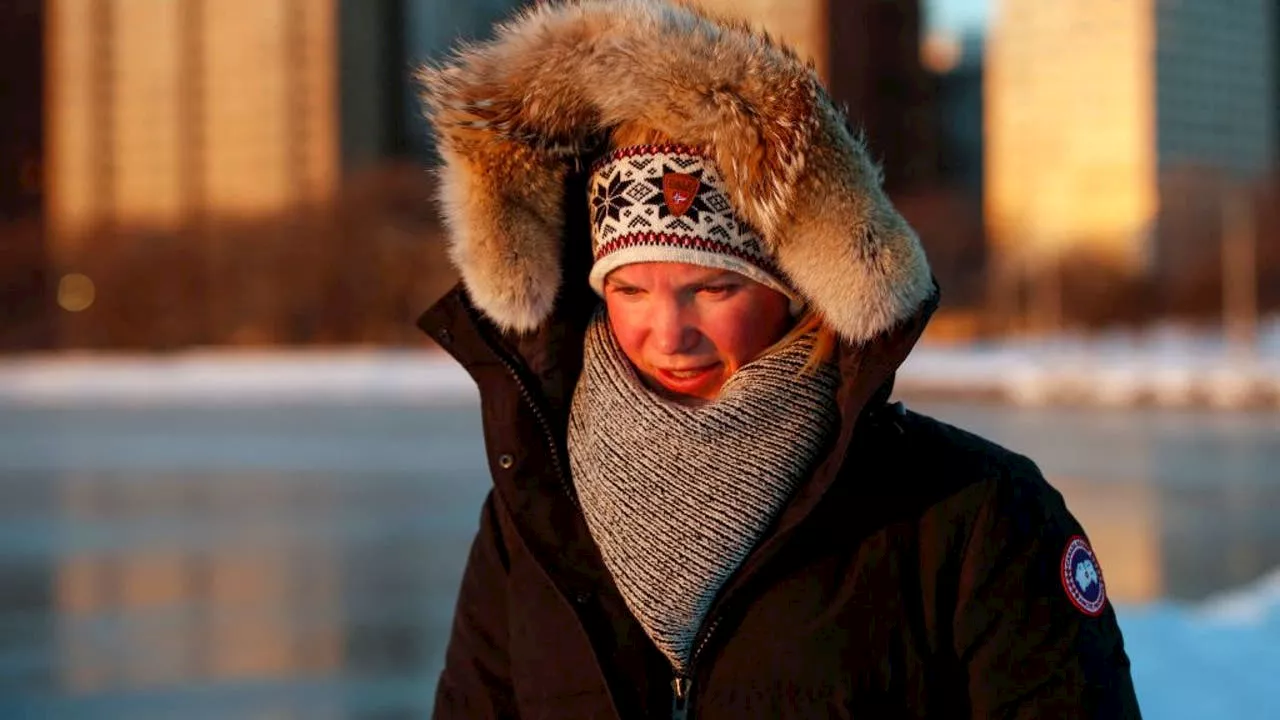 Chicago Braces for Arctic Blast with Chilly Temperatures and Full Moon Mars OccultationChicago residents should prepare for a very cold week ahead with temperatures expected to remain in the teens and single digits. A celestial highlight awaits tonight as the full moon will occult Mars. Residents can seek refuge in warming centers if temperatures drop below 32 degrees.
Read more »