Sunshine and warmer temperatures will be around for our Monday, with similar conditions Tuesday. However, Wednesday and Thursday present a storm threat... alwx
Monday is starting off clear and cool, but clear skies are expected the rest of the day! Highs will be in the upper 60s and lower 70s. Clouds will begin to build mainly after midnight, and lows will be in the mid 40s.
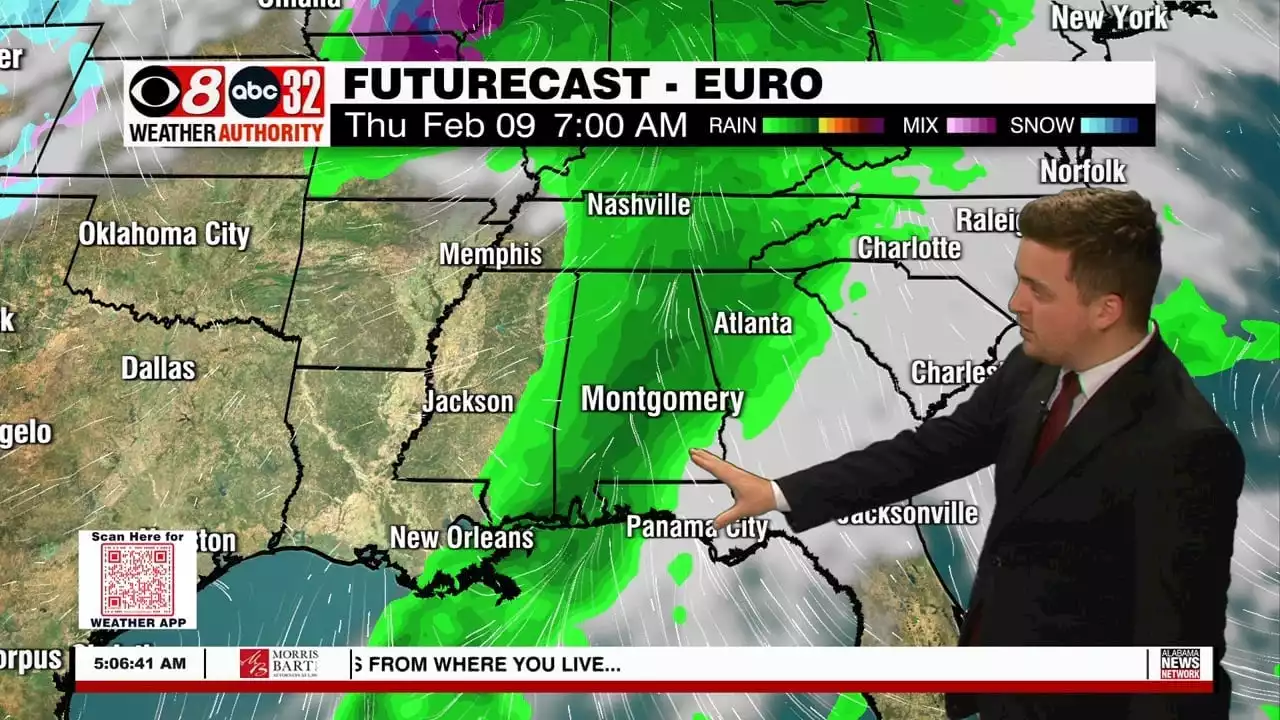
Tuesday will see cloudy skies throughout the day, with a slight chance for showers west of I-65. Highs will be in the low to mid 70s, and not everybody should expect rain. Changes to the forecast will be here Wednesday and Thursday, as strong to severe storms are possible Wednesday night into Thursday morning. A Low Pressure system will be scooting through the area, bringing the chance for damaging winds and a couple of tornadoes. A 1/5 MARGINAL risk is in place across the area, but things will likely change. We will keep you up to date! Some isolated showers are possible Friday morning, but cooler temperatures will be back for the weekend.