
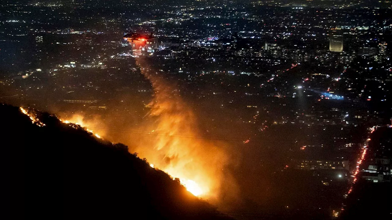
Another round of critical fire danger is expected across the region due to strong winds and low humidity. The Red Flag Warning has been extended until 6 p.m. Friday inland to the mountains.
Winds are easing for now but will pick back up this afternoon, bringing another round of critical fire danger across the region. Although strong gusts won't be as widespread as earlier this week, we're still looking at periods of nearly 80 mph gusts targeting interior parts of the county.
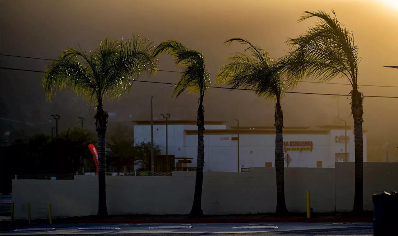
Expect widespread gusts of 25 to 50mph inland to the mountains with peak gusts of 50 to 80mph for the typically windier spots like Alpine and along the I-8 corridor through the mountains, Hellhole Canyon, Sill Hill and Big Black Mountain and isolated higher gusts. On top of the wind, humidity levels will remain between 5 and 15%, continuing to dry out the already critically dry brush.Due to these gusty winds and low humidity, the Red Flag Warning has been extended until 6 p.m. Friday inland to the mountains. Any fires that start will be challenging to control and spread quickly, so be extra vigilant with fire safety this week. This includes checking your vehicle for anything dragging that could spark a fire. The High Wind Warning for the inland and mountain communities has also been extended until 2 p.m. Friday. Be aware of your surroundings, as downed trees and power lines will concern you.The sea breeze briefly returns Friday night into Saturday. Temperatures remain several degrees warmer than usual for the coast and valleys, with the 60s and 70s. The mountains will be seasonably incredible, with the 50s and 40s in the afternoons and 30s each morning. In the deserts, highs will be near 70. There will be minor cooling next week.We are officially in a drought in San Diego and seeing the driest start to the water year, which began on October 1st. San Diego, records kept at Lindbergh Field, has only seen .14' of rain since October 1st and only .16' since July 1st! On record, Southern California is seeing one of the driest starts to the rainy season. December and January are the peak of Santa Ana season, but usually, we've seen rain, and the threat of fires is minimal. Without rain, each Santa Ana wind event will dry the brush even more and quickly spread the danger of fires. Santa Ana season goes through February and can even linger into March.Be prepared by clearing a defensible space away from your home, reviewing your evacuation plan with your household, and having your emergency go-kit ready, including any medicine you need, extra supplies, and food for your kids and pets
WILDFIRES WIND HUMIDITY RED FLAG WARNING SANTA ANA WINDS
United States Latest News, United States Headlines
Similar News:You can also read news stories similar to this one that we have collected from other news sources.
 California Wildfire Live Updates: Red Flag Warning Will Remain Until Friday Evening As Blazes Burn More Than 2,000 StructuresOfficials warned gusty winds and low humidity could continue spreading the fires through Thursday.
Read more »
 Santa Ana Winds: The Fiery Winds of Southern CaliforniaExplore the powerful Santa Ana winds, their origins, effects on Southern California's landscape and the role they play in wildfires.
Read more »
 Gusty winds up to 50 mph whip 2,200-acre Franklin fire in MalibuLow humidity and dry conditions are part of the dangerous mix.
Read more »
 Franklin fire: How gusty winds are whipping the wildfire in Malibu and how long they will lastLow humidity and dry conditions are part of the dangerous mix.
Read more »
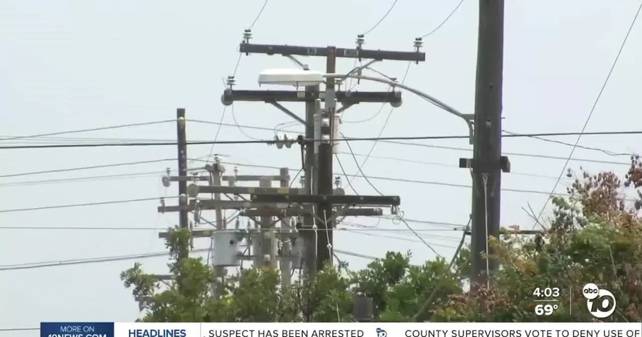 SDG&E restores power as residents question extended outages after strong windsAaron enjoys helping improve people’s quality of life through his storytelling and promoting a healthy lifestyle. He also loves competing in Crossfit.
Read more »
 East Coast storm makes a mess at ski resorts as strong winds cause power outagesA storm that swept up the East Coast is causing misery for New England ski resort operators.
Read more »