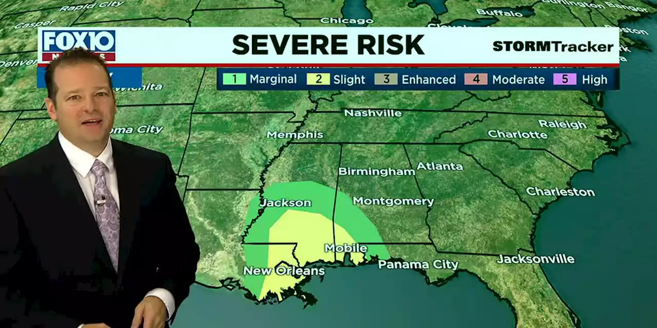
Storms are on the way for our Saturday night. The main line of storms will work it’s way slowly across our area this evening taking all night and even into Sunday morning to pass through our area. The Storm Prediction Center has the western half of our area in a slight risk zone and the eastern half in a marginal risk zone for severe weather. The greatest threat will be strong straight-line winds, but an isolated, brief tornado can’t be ruled out. Timing for the strongest storms will be from 4pm to 2am with diminishing strength overnight. With the slow movement flooding could become a concern.
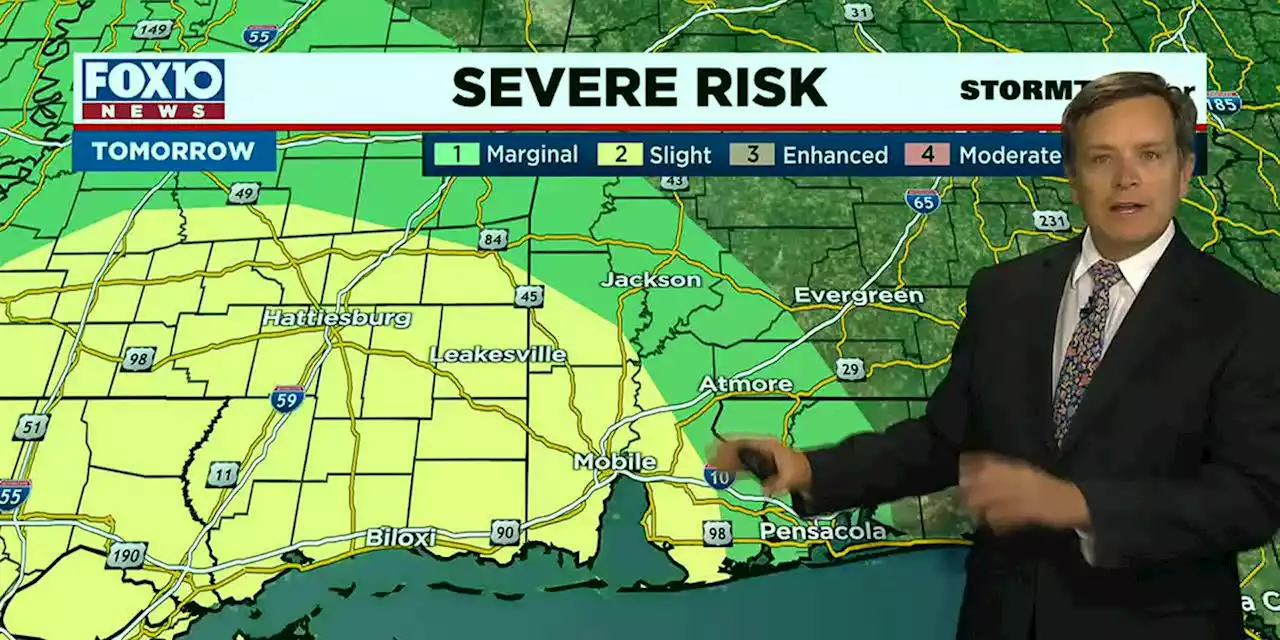
Some rain will be left over early on Sunday morning to the east, but otherwise we will see clearing and better conditions.
In the tropics we are watching a tropical disturbance in the SE Caribbean that will likely develop in the coming days. No worries for us, because this one will stay well to our south.Download the FOX10 Weather App. Get life-saving severe weather warnings and alerts for your location no matter where you are. Available free in the
United States Latest News, United States Headlines
Similar News:You can also read news stories similar to this one that we have collected from other news sources.
 Storms for our Saturday afternoon and evening…The main line of storms will work its way slowly across our area this afternoon and exit to the east overnight.
Read more »
 Storms for our Saturday afternoon and eveningThe main line of storms will work its way slowly across our area this afternoon and exit to the east overnight.
Read more »
 Saturday storms expected, some possibly strongThere is a slight risk for severe storms, mainly late afternoon through late evening.
Read more »
 Storms for our Saturday afternoon and eveningThe main line of storms will work its way slowly across our area this afternoon and exit to the east overnight.
Read more »
 From your morning commute to Friday night lights, heavy rain and wind could be an issueHeavy rain and some strong storms could cause widespread disruptions on Friday.
Read more »