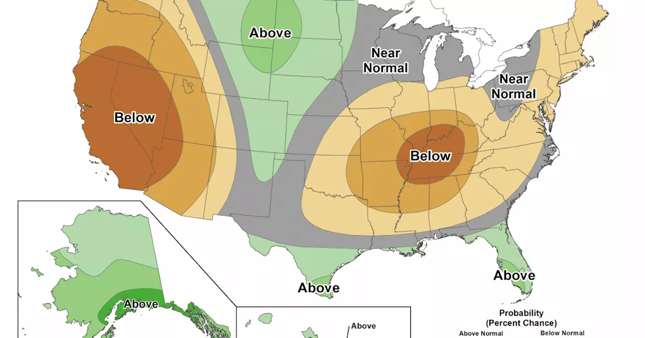
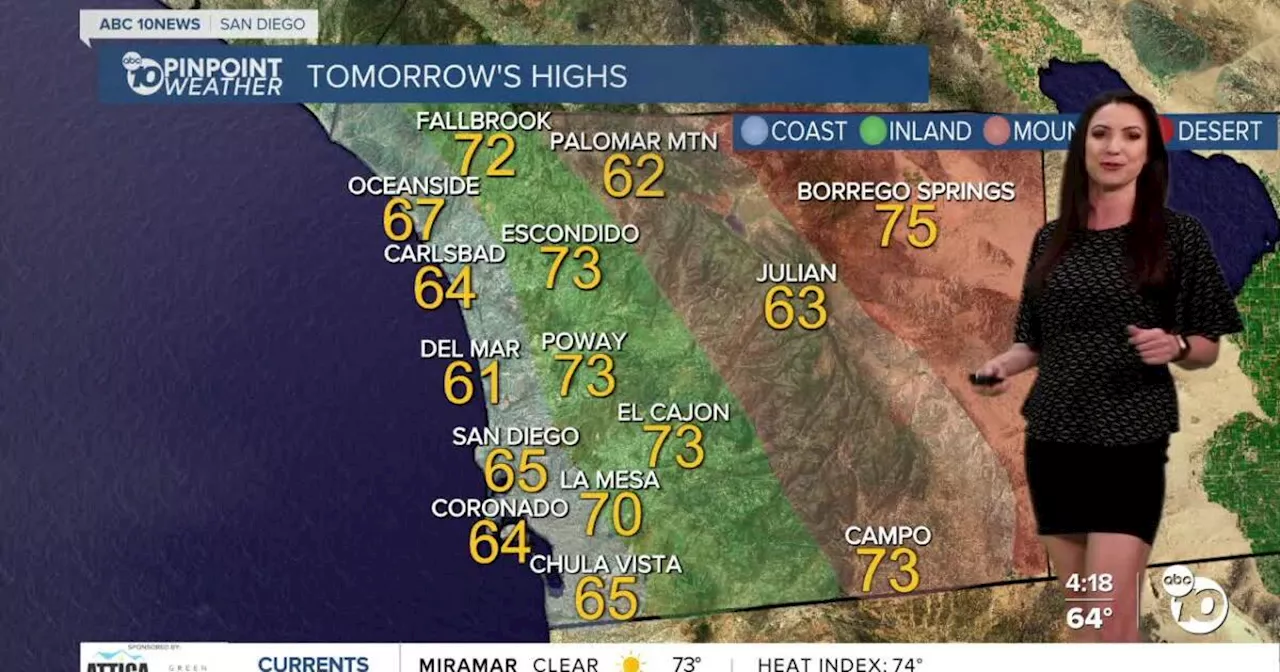
Southern California is bracing for a resurgence of dangerous fire weather next week, fueled by a combination of strong Santa Ana winds and historically dry conditions. The region is experiencing one of its driest winters on record, with rainfall far below average. This dry spell, coupled with the expected wind gusts, creates a highly volatile fire risk.
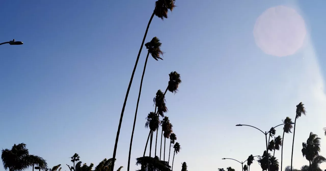
Winds are expected to continue dissipating this week, but it's shaping up to be a short reprieve for fire-scarred Southern California. There's a growing risk that significant fire weather could return in Los Angeles and Ventura counties starting early next week. But even more than winds, the region faces danger from extreme dry conditions and lack of rain. Southern California is seeing one of its driest starts to a winter on record.
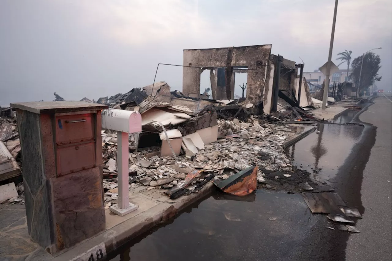
Much of the region has received just 5% or less of its average rainfall for this point in the water year, which began Oct. 1, said Alex Tardy, a meteorologist with the National Weather Service office in San Diego, which also issues forecasts for Orange County and the Inland Empire. Downtown L.A. has received just 0.16 of an inch of rain since Oct. 1 — 3% of the average at this point in the season, which is 5.56 inches. The record low for this 3½-month time period in downtown L.A. was for the water year that began on Oct. 1, 1903 — when only a trace of rain was detected through Jan. 13, 1904, according to data shared by Tardy. The early part of the 1962-63 water year was also very dry, with downtown L.A. receiving only 0.16 of an inch of rain by Jan. 13, 1963. Downtown L.A.'s annual average rainfall is 14.25 inches. For many other areas of Southern California, 'this is the driest start to any water year,' Tardy said, 'and you can see extreme fire behavior with the ignitions.' In San Diego, just 0.14 of an inch of rain has fallen between Oct. 1 and Jan. 14. That's the driest start to the water year in 174 years of record keeping. The previous record for that time period was 0.35 inches of rain that accumulated between Oct. 1, 1962 until Jan. 14, 1963, according to Miguel Miller, forecaster for the National Weather Service office in San Diego. Exacerbating the fire weather situation is that January is the peak month for Santa Ana winds — powerful winds that develop when high pressure over Nevada and Utah sends cold air screaming toward lower pressure areas along the California coast. The air dries out and compresses and heats up as it flows downslope from the high deserts — from the northeast — over California's mountains and through canyons, drying out vegetation as the wind gusts through. The magnitude of Santa Ana winds is typically strongest in January, said Tardy, citing research by the U.S. Forest Service and the Scripps Institution of Oceanography. 'Santa Anas are very common in December, January, and that's usually when we see our strongest and biggest and most damaging ones. But we don't have conditions this dry normally,' Tardy said. 'During my career, I've never seen punishing Santa Ana events so overwhelm the normal winter rain season,' said retired climatologist Bill Patzert. In the coming days, Monday and Tuesday are of the most concern at this point, with a 70% chance of red flag warnings for Los Angeles and Ventura counties, which indicates a high likelihood of critical fire behavior should one ignite, according to the National Weather Service. 'The big story is that it just looks very dry all week next week, with a growing risk of red flag warnings,' said Ryan Kittell, a meteorologist with the weather service's office in Oxnard. Relative humidity could fall under 10% next week, meaning vegetation will be especially bone dry and vulnerable. 'It just almost looks off the charts,' Kittell said. As for wind, there is increasing confidence that moderate Santa Anas will develop. As of Wednesday, forecasters estimated the likelihood of a moderate Santa Ana wind event at 70% for Monday and Tuesday. The day before, the probability was pegged at 40%. There is also still a small chance of a strong Santa Ana wind event. The winds next week are expected to be influenced by an 'inside slider' — a type of low-pressure system that is expected to move down from Canada into interior California and Nevada and bring wind from high pressure over the Great Basin, but not the rain that is desperately needed. The system is called an 'inside slider' because 'it just slides inside, never goes over water, never give us that chance for rain,' Kittell said. The high pressure that will send cold, dry air to Southern California next week is also being influenced by frigid air expected to move from the Arctic to the Northeastern United States, Tardy said. 'We're going to be on the windy, dry side of that cold air.' It'll mean 'we just go back into the same, same pattern,' he said. 'It's really been a broken record. Even though Santa Ana winds are common and normal this time of year, it's not normal to be this dry,' Tardy said. 'Normally, in between Santa Anas you'll at least get a rain and a Pacific storm in an average year, and we're not even seeing that.' Before next week's winds pick up, there will be a few days of a welcome break from severe fire weather after devastating fires that flattened large areas in and around Altadena and Pacific Palisades
CALIFORNIA SOUTHERN CALIFORNIA WEATHER FIRE WEATHER SANTA ANA WINDS DROUGHT RAINFALL FIRE RISK RED FLAG WARNINGS
United States Latest News, United States Headlines
Similar News:You can also read news stories similar to this one that we have collected from other news sources.
 Southern California wildfires add to growing worries about homeowner insuranceFirestorms raging across Los Angeles County will test insurance reforms now being implemented throughout California.
Read more »
 Southern California Faces Dry December, Hopes for Rain in Coming MonthsSouthern California is experiencing a dry December, raising concerns about meeting water needs for the year. Forecasters are hopeful for significant rainfall in the coming months.
Read more »
 Southern California Faces Continued Drought RiskSouthern California is experiencing near-record dry conditions, increasing the risk of wildfires and harming native vegetation.
Read more »
 Southern California Faces Continued Drought RiskSouthern California is experiencing a near-record dry spell with low chances of rain in the coming weeks. The combination of dry conditions and strong Santa Ana winds raises concerns about wildfires.
Read more »
 Southern California Faces Warm Temperatures and Elevated Fire DangerThis week's forecast brings warm temperatures and the risk of wildfires to Southern California. Santa Ana winds are predicted to increase fire danger starting Tuesday.
Read more »
 Southern California Faces Moderate Drought as Rainy Season FaltersCalifornia's typically rainy season is lagging behind, leading to a moderate drought in Southern California. The region has not received significant rainfall since May, raising concerns about wildfire risk and water shortages.
Read more »