
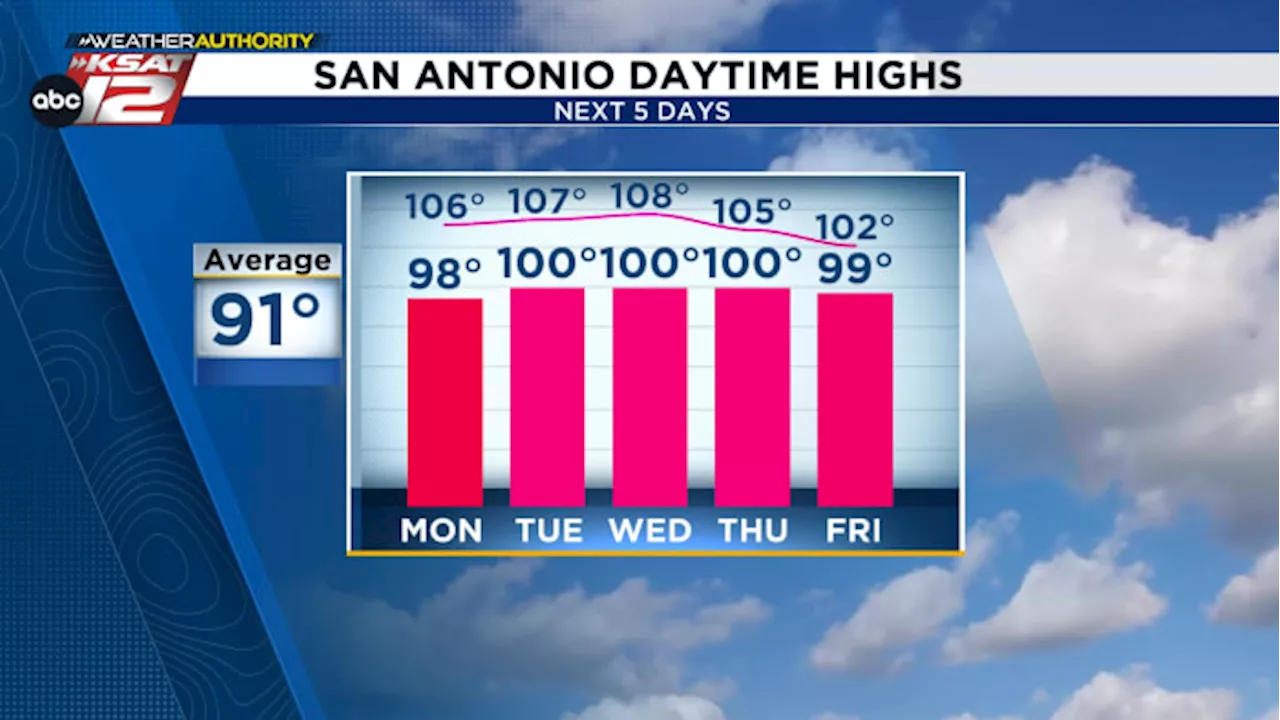
Heat index will peak in the afternoons at 105° to 110°
• Minimal rain chances -- 10% to 20% for lucky few• Too early to tell if Tropical Storm Beryl will make landfall along Mexico or U.S. coastThere are a few patchy showers southeast of San Antonio this morning, but as the sun rises, it’ll turn into a hot and humid Saturday with highs in the upper-90s and heat index values as high as 110° around 4/5pm.
Tropical moisture from the Caribbean will mainly stay south, impacting Mexico, but a stray shower for the SA metro area with a few more clouds are possible Sunday. Chance is only 10% to 20%. Otherwise, another hot day. Hazy skies this weekend from the first seasonal arrival of Saharan dust. The plume will not be thick enough to cause major allergy issues, only a small and not noticeable dip in air quality for most.Tropical Storm Beryl has formed in the Atlantic. It is expected to strengthen into a hurricane and move toward the Caribbean by midweek. It’s too early to tell *if* and *where* it would impact the Mexico or U.S.
Tropical Storm Beryl will strengthen into a hurricane, potentially impacting the Caribbean next week. It's too early to determine if and where it'll make landfall in Mexico or the U.S.About the AuthorSarah Spivey is a San Antonio native who grew up watching KSAT. She has been a proud member of the KSAT Weather Authority Team since 2017. Sarah is a Clark High School and Texas A&M University graduate. She previously worked at KTEN News.
United States Latest News, United States Headlines
Similar News:You can also read news stories similar to this one that we have collected from other news sources.
 Heat index as high as 105° to 110° this week in San Antonio, Texas Hill CountryFeeling much hotter than average to start June
Read more »
 Hazy from Saharan dust and hot this weekend in San AntonioHeat index values will peak at 105° to 110° in the afternoons
Read more »
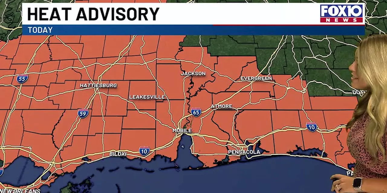 A heat advisory is in effect for entire FOX10 viewing areaMany areas will see heat indices get up to 105 to 110+ degrees.
Read more »
 D.C.-area forecast: Temperatures approach 100 today, feeling like 105 to 110If Washington hits 100, it will be the first time since 2016. If not, it will still be dangerously hot.
Read more »
 Heat Advisory Returns: Heat Index over 105 degrees and potential stormsIt will be another roaster today, with temperatures soaring into the mid to upper 90s inland.
Read more »
 PM Update: Record high temperatures as parts of area hit 101; heat advisory SundayTomorrow again may feel like 105 to 110 degrees, borderline dangerous with prolonged exposure
Read more »