
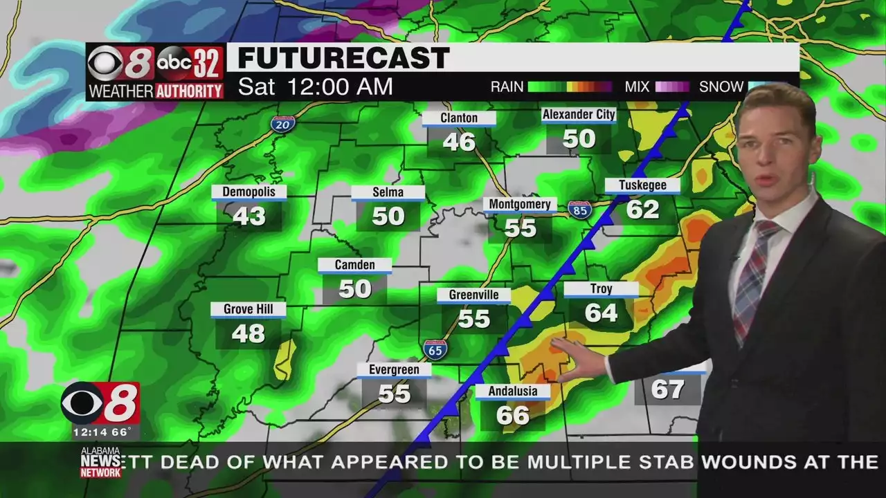
While there wasn't much going on weather-wise through midday Friday, our weather becomes much more active by Friday night.
It may be easier to explain the types of weather Alabama won’t experience through this weekend. While there wasn’t much going on weather-wise through midday Friday, our weather becomes much more active by Friday night. Our first hurdle comes in the form of severe weather potential. Severe storms appear possible between 7PM Friday evening and 3AM Saturday morning. Damaging wind gusts are the primary hazard. However, a couple tornadoes appear possible.
The storm prediction center places a slight severe risk across our area, generally along and south of the I-85 corridor, and along and east of the I-65 corridor. The severe risk looks lower further northwest, but the risks remain the same. With storms impacting our area after dark, make sure to have multiple ways to receive weather warnings. One way to do so is our free Weather Authority mobile app. You can find “ANN Weather” on the Apple and Google Play stores.
Temperatures fall drastically behind a cold front as the storms depart. Some precipitation lingers behind the front. It could produce some partially frozen precipitation across our northwest communities prior to sunrise. However, it looks very unlikely to cause any impacts. Temperatures could be in the 30s at sunrise Saturday. While Saturday look quite sunny, temperatures probably won’t exceed the 40s.
Plus, a strong northwest wind persists behind the Friday night cold front. Wind chills remain in the 30s all day. A wind advisory begins at 12AM Saturday and continues through 6PM. Winds remain sustained at 15 to 25 mph during that time, with gusts up to 40 mph. Actual air temperatures fall into the low and mid 20s Saturday night. A freeze warning covers much of our area from 12AM to 9AM Sunday.
Temperatures trend milder Sunday afternoon, with highs near 60°. Sunday night looks cold, with lows in the 30s. Temperatures look warmer next week. High temperatures approach 70° Monday afternoon. However, rain returns to the forecast next Tuesday. Some storms could be in the mix too. It appears some rain lingers into the next Wednesday, with more clouds than sun otherwise. Next Thursday looks rain-free, but more rain appears possible next Friday.
United States Latest News, United States Headlines
Similar News:You can also read news stories similar to this one that we have collected from other news sources.
 Sunshine Thursday, Severe Storms Possible Late Friday - Alabama NewsTemperatures warm to around 70° Thursday afternoon while the sky remains mostly sunny.
Read more »
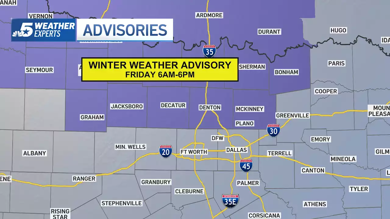 Winter Weather Advisory: Quick Warmup Today Before Rain, Winter Mix FridayA Winter Weather Advisory is issued in parts of North Texas where light ice accumulation and travel impacts are possible.
Read more »
 Missed Connection - 'long haired man at Madams Organ on Friday''Dear PoPville, I met him last Friday (March 4th) dancing at Madams Organ. I was more drunk than I've been in a few years (due to my college friend visiting and
Read more »
 Russia attacks Ukraine: UN Security Council will meet Friday at Russia’s request (live updates)Update: Ukraine has now lost all forms of communications with Chernobyl nuclear power plant
Read more »
 Shoe Station to open new Fairhope location Friday morningBonuses to be offered to first patrons this weekend; store will be 22nd for chain founded in Mobile.
Read more »
 Paid parking lots in Jacksonville Beach open FridayThe city of Jacksonville Beach has four paid parking lots that will be opening up Friday.
Read more »