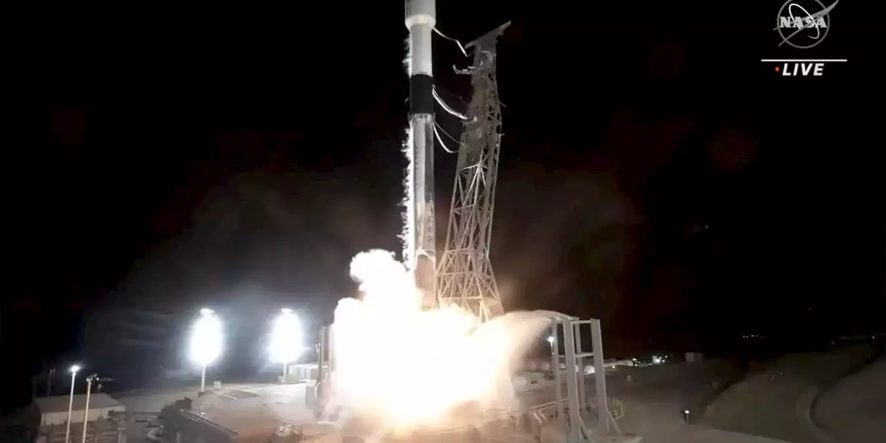
The satellite, nicknamed SWOT, was launched Friday morning from California
A U.S.-French satellite that will map almost all of the world’s oceans, lakes and rivers rocketed into orbit Friday.
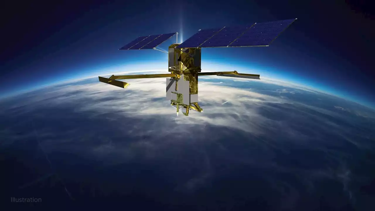
The predawn launch aboard a SpaceX rocket from Vandenberg Space Force Base in California capped a highly successful year for NASA. About the size of an SUV, the satellite will measure the height of water on more than 90% of Earth’s surface, allowing scientists to track the flow and identify potential high-risk areas. It will also survey millions of lakes as well as 1.3 million miles of rivers, from headwater to mouth.
NASA’s current fleet of nearly 30 Earth-observing satellites cannot make out such slight features. And while these older satellites can map the extent of lakes and rivers, their measurements are not as detailed, said the University of North Carolina’s Tamlin Pavelsky, who is part of the mission.
United States Latest News, United States Headlines
Similar News:You can also read news stories similar to this one that we have collected from other news sources.
 Watch SpaceX launch NASA water-monitoring satellite early FridayLiftoff is scheduled for 6:46 a.m. ET on Friday (Dec. 16).
Read more »
 Rocket issue delays SpaceX launch of NASA water-watching satellite to FridayThe company wants more time to investigate moisture in two of its Falcon 9 rocket's nine first-stage Merlin engines.
Read more »
Surface Water and Ocean Topography (SWOT)
Read more »
 Surface Water and Ocean Topography (SWOT) – Live NASA/SpaceX Launch CoverageNASA has started live launch coverage of the international Surface Water and Ocean Topography (SWOT) mission! A SpaceX Falcon 9 rocket stands poised for liftoff at Vandenberg Space Force Base’s Space Launch Complex-4 East in California, ready to send SWOT on the first mission to observe nearly al
Read more »
 NASA's new SWOT satellite to study Earth's water from space a 'game changer' for understanding climate changeThe multi-agency mission launches Thursday (Dec. 15).
Read more »
 Billion-dollar NASA satellite will track Earth’s waterSWOT satellite will bounce radar off water bodies to give scientists a new window into climate change and the global water cycle.
Read more »