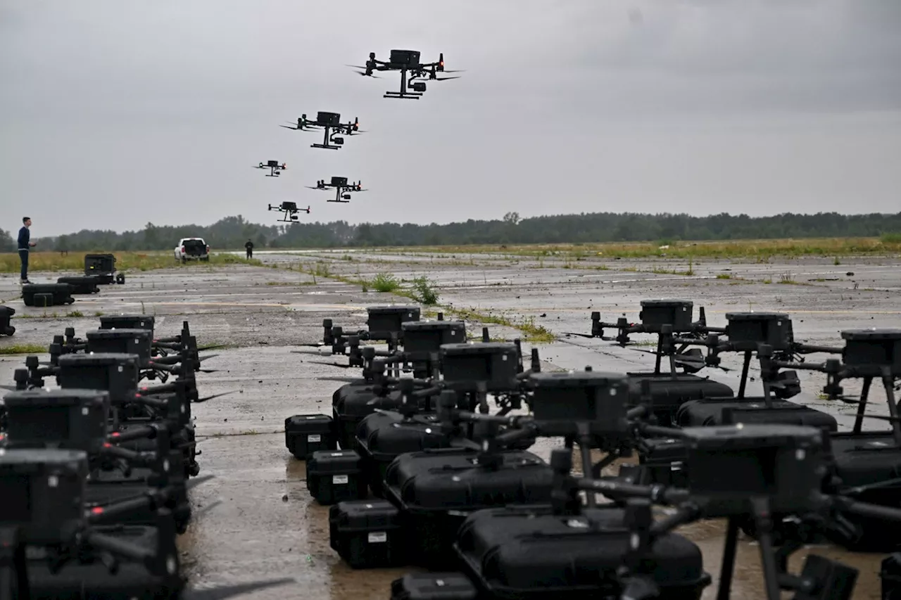
Ukraine has repeatedly targeted Russia's early-warning radar systems deep inside Moscow's territory.
New satellite imagery appears to show the aftermath of a Ukrainian drone attack deep in Russian territory, as Kyiv plugs away targeting Moscow's early-warning radar systems.Indistinct imagery shared by U.S.-backed Radio Free Europe/Radio Liberty, attributed to American company Planet Labs, appears to show patches of darker spots around a Russian radar station in Russia's Orenburg region after a reported Ukrainian drone strike on the facility.
The strike set a new 'record for the range of destruction for kamikaze drones,' the source added.Russian media reported that a drone had fallen near Orsk, citing law enforcement in the area.It was the second reported attack on Russian radars key to Moscow's long-range detection of aircraft and ballistic missile threats in just a few days.
United States Latest News, United States Headlines
Similar News:You can also read news stories similar to this one that we have collected from other news sources.
 Crimea Satellite Images Show Aftermath of 'Massive' ATACMS StrikeThe images reportedly show Russian losses at the Belbek airfield, including two MiG-31 fighter jets, an Su-27 aircraft, and a damaged MiG-29 fighter jet.
Read more »
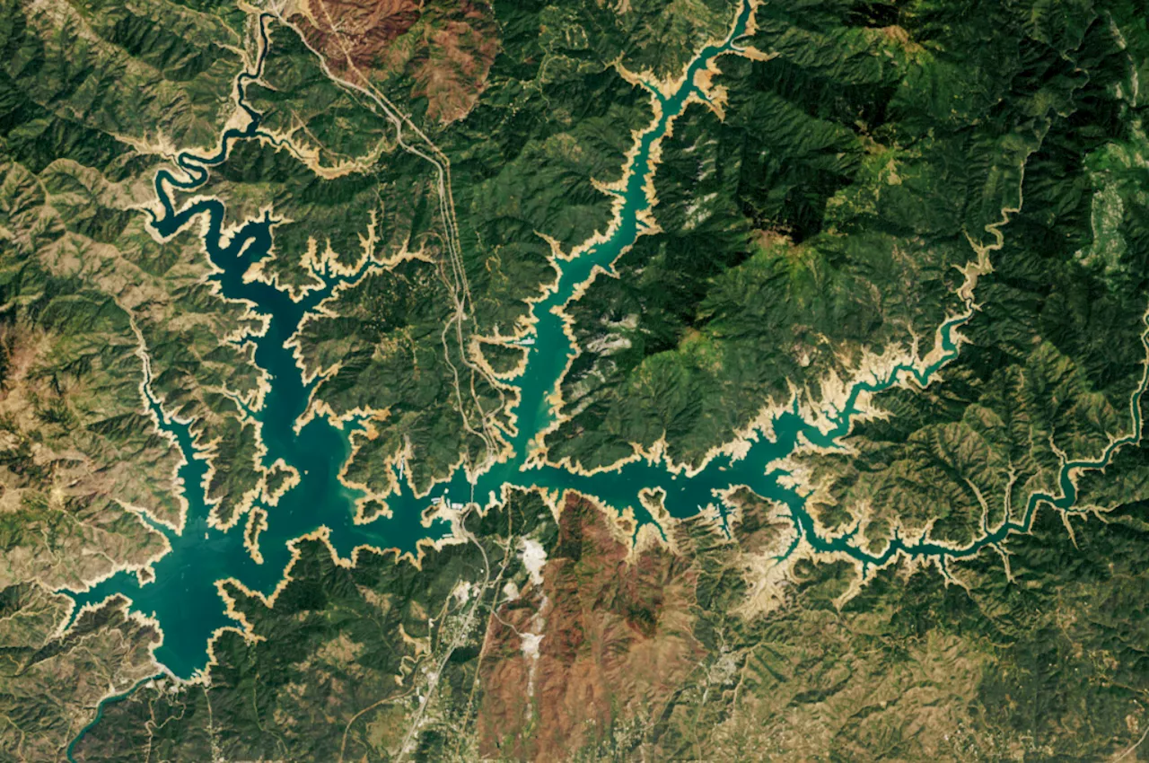 California's Lake Shasta Full Second Year in a Row, Satellite Images RevealMost recent images from May show the outer bathtub ring completely gone, after Lake Shasta filled for the second year in a row.
Read more »
 Satellite Images Reveal Work at Russia's New Black Sea PortMoscow has been forced to remove the bulk of its Black Sea Fleet from its primary bases on the occupied Crimean Peninsula and look for alternative ports.
Read more »
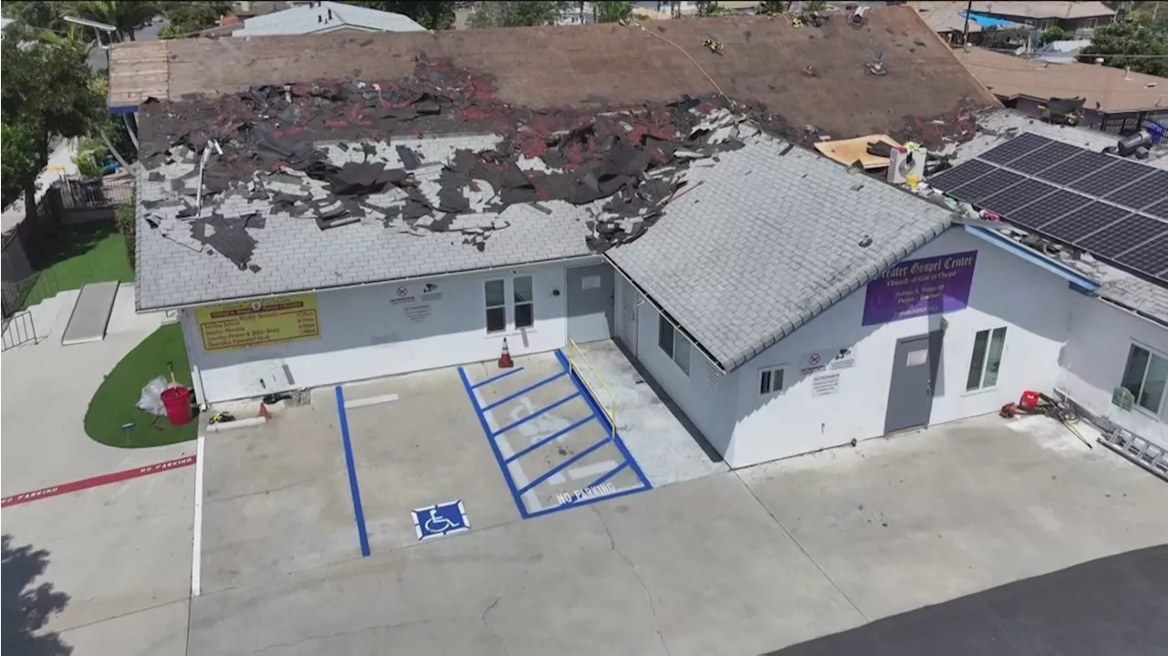 Insurance company drops San Diego church's policy after viewing satellite imagesGuideOne Insurance out of Iowa specializes in churches, nonprofits, small businesses and senior living.
Read more »
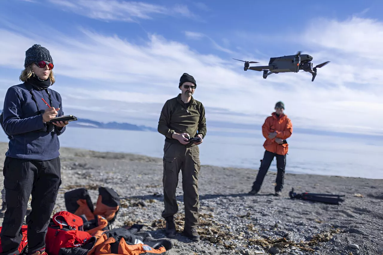 Drones validate walrus counts in satellite images from spaceIn the first successful attempt to calibrate walrus counts from satellite imagery, scientists used drones to validate animal counts in Svalbard, Norway. On this International Day for Biological Diversity, the researchers describe how this study is a big step towards using satellite imagery as a non-invasive method to monitor walruses in the Arctic.
Read more »
 North Korea Satellite Images Raise New Nuclear FearsThe images suggest significant activity is taking place at the Yongbyon nuclear complex.
Read more »