
Temps have been well above average over the last couple days and the trend continues into the weekend. Ahead of our next cold front, temps could hit 80! T.J. Springer tells us when the chill returns.
We've seen a mix of clouds and sun today and even some showers as a disturbance has been working eastward. That continues to move away through the evening as we shift our focus to our next cold front. This boundary is draped through the Ohio Valley and it closes in on the Susquehanna Valley tomorrow.
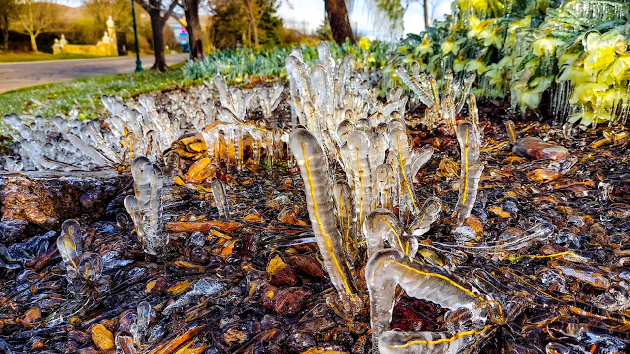
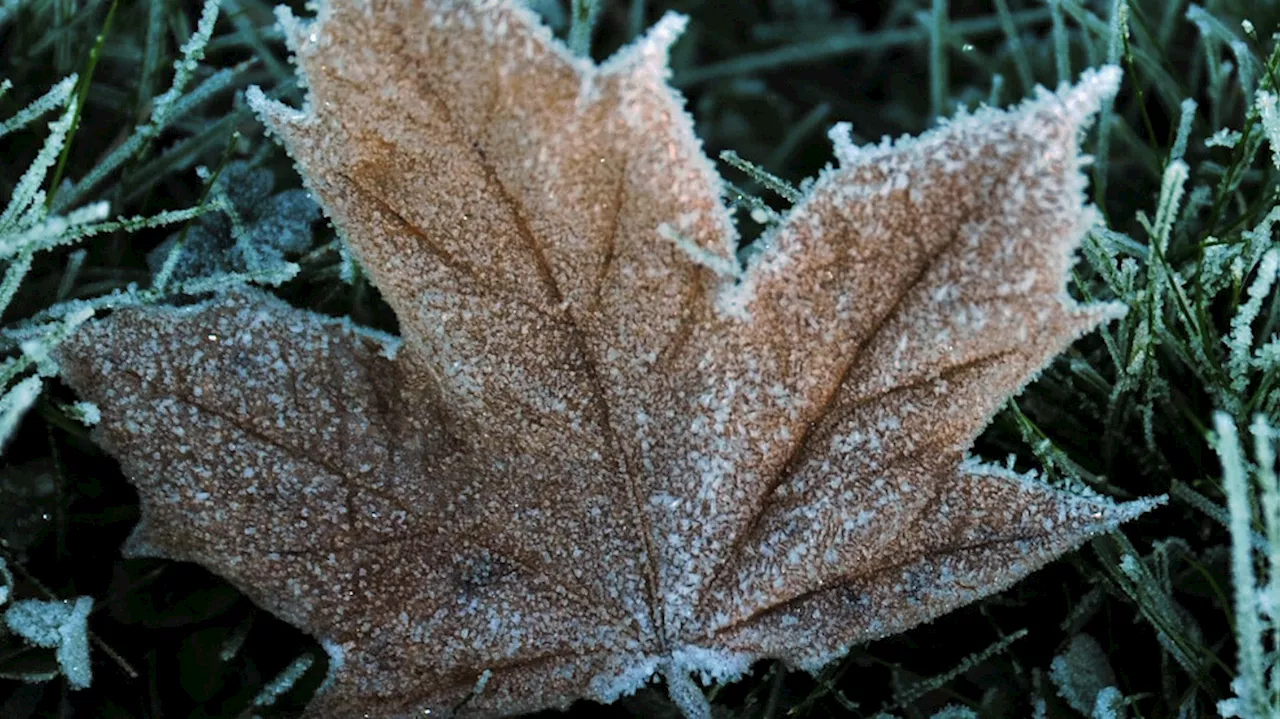
As the front inches closer Saturday evening, a spotty shower or two is possible across but we're not expecting much rain. With the front just to our west though, temps look to rise even further. Afternoon readings on Saturday rise to around 80° which feels a lot more like early Summer than Fall. The unseasonable warmth would also tie a record at HIA, set back in 1984. The cold front finally pushes through Saturday night into Sunday with temperatures getting knocked back a good bit. Highs only look to be in the 50s for most of us which is a far cry from where we've been for the last few days. Shower chances heighten on Sunday ahead of our next system with a warm front trying to lift into area. It looks like it won't succeed and we stay raw and damp as showers move through. Shower chances hold Monday as a secondary cold front swings into the Mid-Atlantic. Highs hold around 60 to kick-off the workweek with even chillier conditions on the docket by Halloween. Temps tumble back into the lower 50s and with that cold front in the vicinity, we can't rule out a shower. Make sure to layer if you're heading out trick-or-treating. As a strong-upper low swings eastward Tuesday night into Wednesday, a new area of low pressure looks to develop offshore. This could bring another soaking rain midweek. We're still a few days away but it's something we'll be watching closely. Highs behind that system really tank with highs possibly in the 40s by Wednesday. Lows fall back to the freezing mark into Thursday which is well below average for this time of year. High pressure at the surface starts building in late week with more sunshine on the table Friday. Temperatures slowly rebound into the 60s by next Saturday with another disturbance bringing a chance for showers by for our first weekend of November.Have a great night!-T.J.
United States Latest News, United States Headlines
Similar News:You can also read news stories similar to this one that we have collected from other news sources.
 Chicago weather: Showers and warm temps continue before big weekend cool downShowers are moving through Chicagoland this morning. Additional showers are likely later today.
Read more »
 FIRST FREEZE: Salt Lake, Utah Counties and areas north expecting below-freezing tempsTemperatures will drop below freezing in areas of north-central and northern Utah for the first time this season Thursday night into Friday morning.The Tooele a
Read more »
 Keep things toasty as temps drop with this cozy heated jacket, now only $199.99Stay warm all winter, and save!
Read more »
 Frigid overnight temps expected to stick around western Washington into the weekendIf you haven't turned the heat on in your home yet, there's a good chance you will by the end of the week.
Read more »
 PM Update: After record and near-record highs again today, more coming SaturdayWe’ve got another day of 80s on the way to start the weekend. Cloudier and somewhat cooler by Sunday.
Read more »