
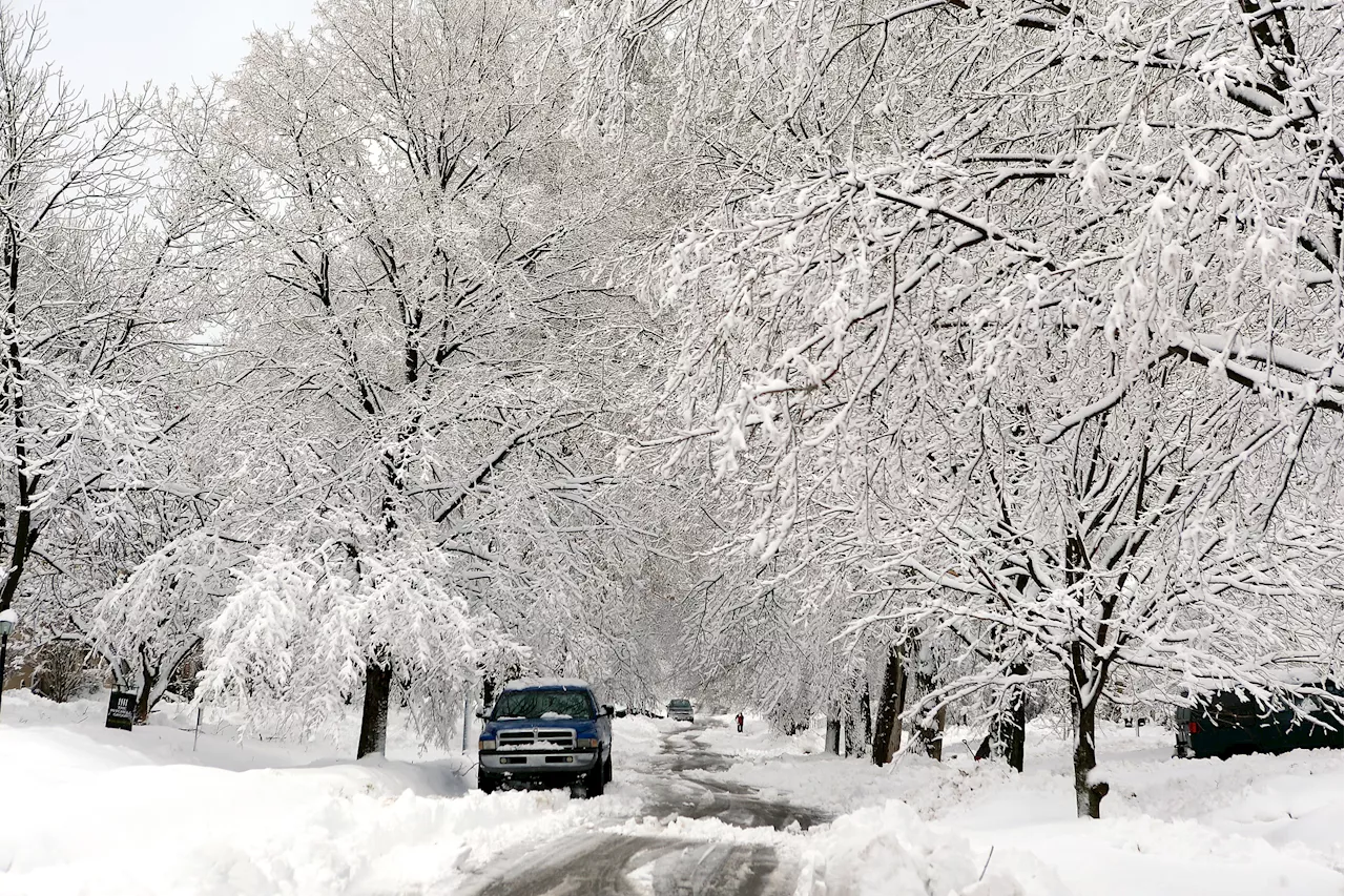
A rare winter storm is predicted to bring heavy snow, sleet, and freezing rain to the southern US, potentially causing significant travel disruptions and impacts on daily life. Major cities from Texas to the Carolinas could experience accumulating snow, while the Florida Panhandle and parts of Georgia face a mix of snow, sleet, and freezing rain.
A rare winter storm is gearing up to unleash a chaotic blend of heavy snow, sleet, and freezing rain across the southern United States, potentially disrupting travel and daily life from Houston to Atlanta. The FOX Forecast Center predicts measurable snowfall in cities unaccustomed to winter weather, with computer models suggesting major cities stretching from Texas to the Florida Panhandle and the Carolinas could receive at least an inch of snow.
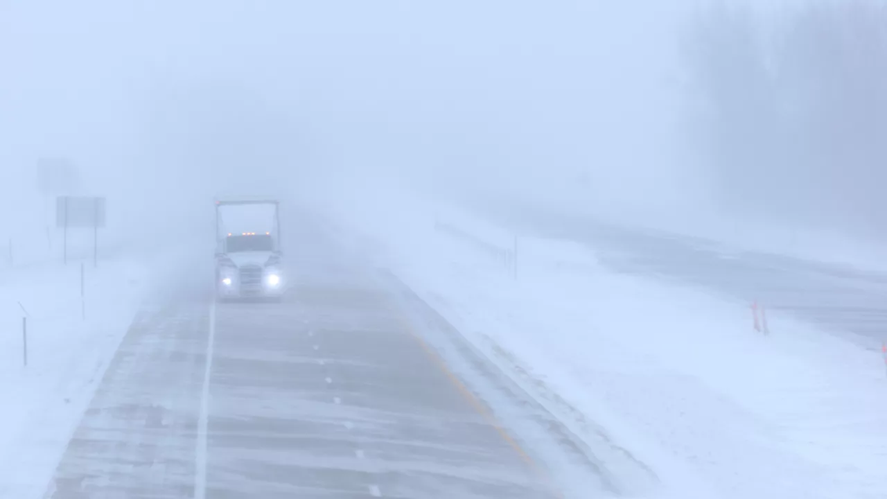
Adding to the complexity, an arctic high positioned ahead of the storm will usher in frigid temperatures before the storm's impact intensifies on Monday. This system deviates from typical winter weather patterns as the arctic high doesn't extend far enough south to push all the moisture offshore. An upper-level disturbance originating from the Plains will move towards the Gulf Coast, allowing a low-pressure area to form over the Gulf of Mexico. This convergence of moisture and cold air is what sets the stage for the impending storm.The trajectory of this low-pressure system remains uncertain, though current forecasts indicate it will be positioned to generate substantial snowfall. The Gulf Coast states are anticipating 1 to 3 inches of snow, with East Texas, central Louisiana, and western Mississippi potentially experiencing heavier accumulations of 5 to 8 inches. The Florida Panhandle and southeastern Georgia could face a more complex situation. As the low-pressure system strengthens, warmer air will be drawn in over the Southeast, leading to a mixture of melting snowflakes, refreezing, and potential rain. The FOX Forecast Center anticipates a layer of ice ranging from 0.10 to 0.25 inches, although this figure could fluctuate. Winter Storm Watches have been issued for several states across the South and Southeast, encompassing major cities like Houston, New Orleans, Montgomery in Alabama, and Atlanta. These watches will be in effect starting Monday. Significant disruptions are anticipated, including possible power outages and travel delays on roads and at airports throughout the region. The National Weather Service office in Houston advises individuals to postpone all travel whenever possible. If travel is absolutely essential, drivers are urged to exercise extreme caution, be prepared for rapidly changing visibility, maintain a safe distance from other vehicles, and allow extra time for their journeys. They also recommend avoiding abrupt braking or acceleration, and exercising particular vigilance on slopes or during turns. Finally, the NWS emphasizes the importance of ensuring vehicles are properly winterized and in optimal working condition
Winter Storm Snow Sleet Freezing Rain Southern US Travel Disruptions Weather Alert
United States Latest News, United States Headlines
Similar News:You can also read news stories similar to this one that we have collected from other news sources.
 Snow forecast: Winter storm could slam NYC on MondayA potent winter storm early next week could bring 'the potential for heavy snow' to the Northeast, which would include parts of the New York City area. Here's what to expect.
Read more »
 Winter Storm Blair to Slam U.S. with Double-Digit SnowThirteen states brace for Winter Storm Blair, which is expected to bring heavy snow and potential travel disruptions across the country this weekend.
Read more »
 Major Winter Storm to Slam Midwest, Bringing Heavy Snow and Travel DisruptionsA powerful winter storm is set to impact multiple Midwest states this weekend and early next week, bringing heavy snowfall, blizzard conditions, and potential for significant ice. The storm is expected to cause major travel disruptions, particularly in the Central Plains and Ohio Valley. Up to 12 inches of snow is possible in parts of Illinois, making travel difficult to impossible.
Read more »
 Major Winter Storm to Slam Eastern US with Snow, Ice and Record ColdA powerful winter storm is expected to bring heavy snow, dangerous ice, and frigid temperatures to the eastern two-thirds of the United States, starting Saturday. Millions will be impacted by the storm, with blizzard conditions possible in Kansas and surrounding areas.
Read more »
 Massive Winter Storm to Slam Central Plains, Ohio Valley This WeekendResidents of the Central Plains and Ohio Valley are being urged to prepare for a major winter storm bringing heavy snow and ice this weekend. The storm system, moving from the Upper Rockies to the Plains, is expected to dump significant snow in Kansas and Missouri before tracking east.,Heavy snow is anticipated to continue in Illinois, Indiana, and Ohio, while other areas of Illinois, Missouri, and Kentucky could face a major ice storm. Forecasters warn of dangerous driving conditions along Interstate 64 and 70 corridors. The National Weather Service predicts areas from central Kansas to Ohio, especially along and north of Interstate 70, have a 60-90% chance of at least 8 inches of snow. This could be the heaviest snowfall in nearly a decade for some regions. Ice storm warnings are in effect near the confluence of the Ohio and Mississippi Rivers. The storm could cause widespread disruptions to daily life, infrastructure, and potential travel restrictions.
Read more »
 Massive Winter Storm to Slam US with Heavy Snow, Ice, and Severe WeatherA powerful winter storm is predicted to impact 62 million people across a 1,300-mile swath of the US, bringing heavy snow, ice, rain, and severe thunderstorms from the Plains to the East Coast. The storm is expected to create treacherous travel conditions and potential power outages, with some areas facing their heaviest snowfall in over a decade.
Read more »