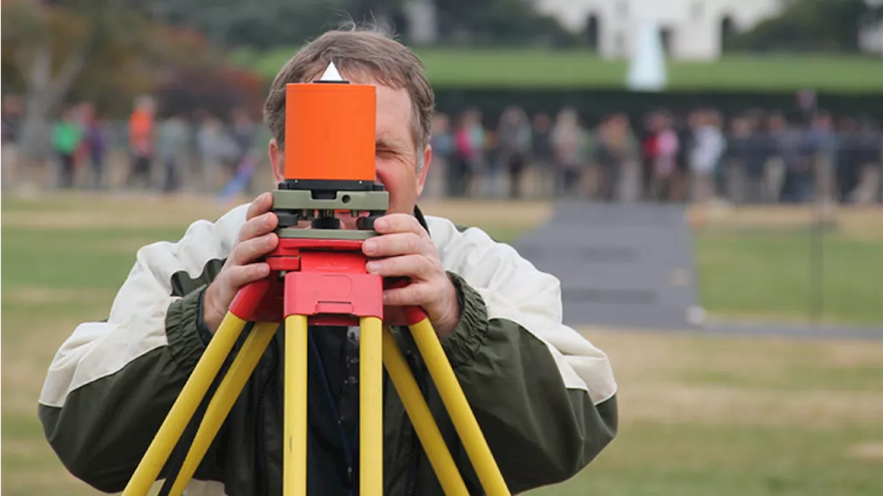
Grow your geodesy knowledge! Explore NOAA’s charting and spatial awareness innovations throughout air, land and sea. Plus, dig into Earth observations via NOAA’s eyes in the sky – satellites – with Dr. Stephen Volz.
SYMONE BARKLEY : Welcome back to Planet NOAA! I’m your host, Symone Barkley. Did you NOAA that the National Oceanic and Atmospheric Administration shapes our nation’s positioning activities? That includes determining latitude, longitude, elevation and shoreline information, plus other measurements that are crucial for positioning. Today, our scientists will dig deep into geodesy, or the science of measuring and understanding our planet’s geometric shape, orientation in space, and gravity field.
CHARLES WOOLDRIDGE: In order for a company to operate a remote sensing satellite, it had to be first licensed, and that license would be granted by NOAA, and in fact, the office that I was working in.
GREENAWAY: Yeah, sure. So I've been working for NOAA for just a little over 20 years now. I started out as a NOAA Corps officer, so our uniformed service. I was sent out on my first assignment to one of our survey ships up in Alaska. I'd grown up with the water using the nautical chart, using NOAA's products, and that was really neat to be making them, to doing the surveys in remote areas and really understanding what's behind those products that I'd used for so long.
HOST: Yeah, I can see how that’s really important — especially for coastal communities and folks living near bodies of water. HOST: Which is an incredibly important question for engineers and community planners to be able to answer! So, mapping and charting are key components of geodesy, and Sam, I’d like to focus on some of the marine applications here.
TALLAPRAGADA: So all of these numerical models that we use are fundamentally solving physical and dynamical equations on the sphere. All of these numerical models depend on exact characterization of the landscape, including the topography, the bathymetry in the oceans, the elevations of the mountains, the slope. So we use various data sets to represent these elevations, particularly…in the ocean as well as in the atmosphere or land.
GREENAWAY: I’m excited to see the new NSRS come out. And then I'm really excited to see the use cases, the applications to use that…both the ability to precisely position in three dimensions and then the infrastructure to put all our data and products around that so folks can use it. One thing that's really impressed upon me as I've gotten into this field is just how precise the shippers want to operate.
ROMAN: The ocean change is certainly the most obvious, but there are other aspects that are related to it. And it's how you're taking all the satellite sensors, you're looking at changes and drought patterns and things of that nature. Those can be sensed. You actually have a number of the satellite gravity missions flying over and can detect that. So those are actually changing the Earth's gravity field and changing the Earth's rotation.
BLACKWELL: In January of 1990, I headed off to Newport News for NOAA officer training. I went to my captain at the time, the commanding officer of the ship. I was talking to him about my next assignments that I was interested in. The one that caught my eye was Geodetic Survey. Because we had GPS on Ferrel. I just didn't really know a whole lot about it. We weren't supposed to be using it for navigation on the Ferrel because it was still not fully operational.
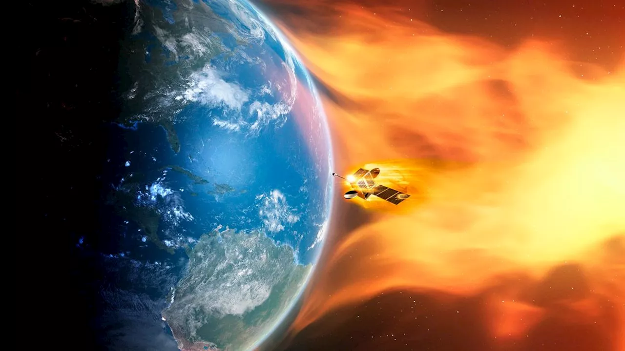
VOLZ: So, some of the first flights of rockets in the early 60s were looking at the Earth. And as I've come into this career in this job, I've seen more of the early work. Recognizing the value of observing the Earth from space would have good benefit for humanity, for people on the planet, particularly weather. So, as early as the early 60s, NASA and what was then ESSA were launching satellites;looking down at the Earth and seeing clouds and weather patterns on a hemispherical basis.
Charting Planet NOAA Podcast Podcast
United States Latest News, United States Headlines
Similar News:You can also read news stories similar to this one that we have collected from other news sources.
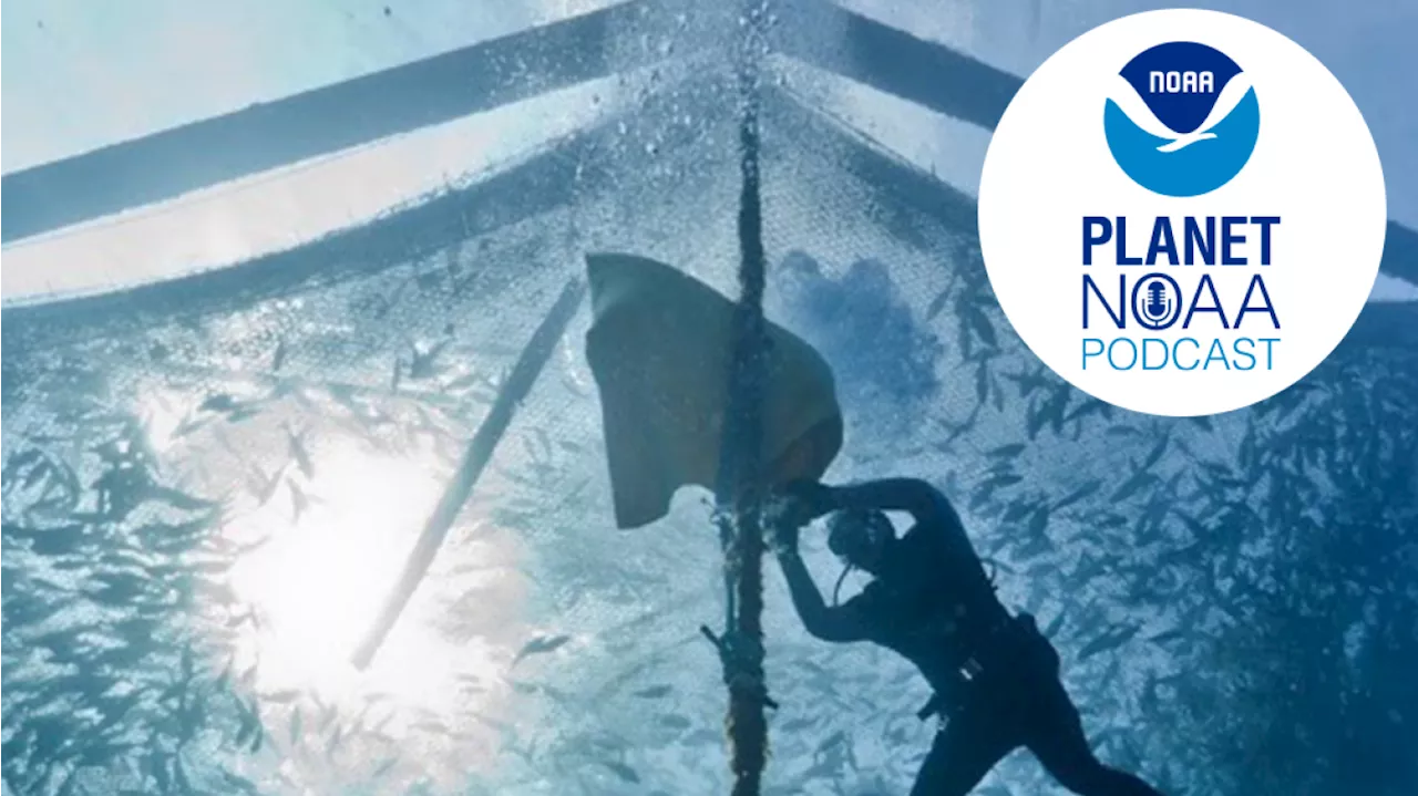 Planet NOAA Podcast Episode 8: SEA-stainabilityAquaculture – or farmed seafood – is making the way we live, work and eat more sustainable. Break down the inner workings of NOAA’S aquaculture and sustainability science with Chief Scientist Dr. Sarah Kapnick and special guests.
Read more »
 New Simulations Suggest Planet Nine Might Not Be a Planet at AllThe Best in Science News and Amazing Breakthroughs
Read more »
NOAA issues Sept. 10-11 view line map for the US northern lightsGeomagnetic storm watch: The aurora borealis view line map is forecasted to reach some northern and upper Midwest US states from New York to Idaho this week.
Read more »
 'A lot has changed': NOAA is rewriting the book on how to rank solar stormsMeredith is a regional Murrow award-winning Certified Broadcast Meteorologist and science/space correspondent. She most recently was a Freelance Meteorologist for NY 1 in New York City & the 19 First Alert Weather Team in Cleveland.
Read more »
 NOAA reaches key milestone in designation of Chumash Heritage National Marine SanctuaryAgency releases final environmental impact statement for West Coast sanctuary
Read more »
 NOAA investigating RFK Jr. after allegedly driving severed whale head across state linesThe National Oceanic and Atmospheric Association is investigating Robert F. Kennedy Jr. for allegedly strapping severed whale's head to roof the roof of a car.
Read more »