Storm Ciaran is expected to bring disruption to parts of the UK
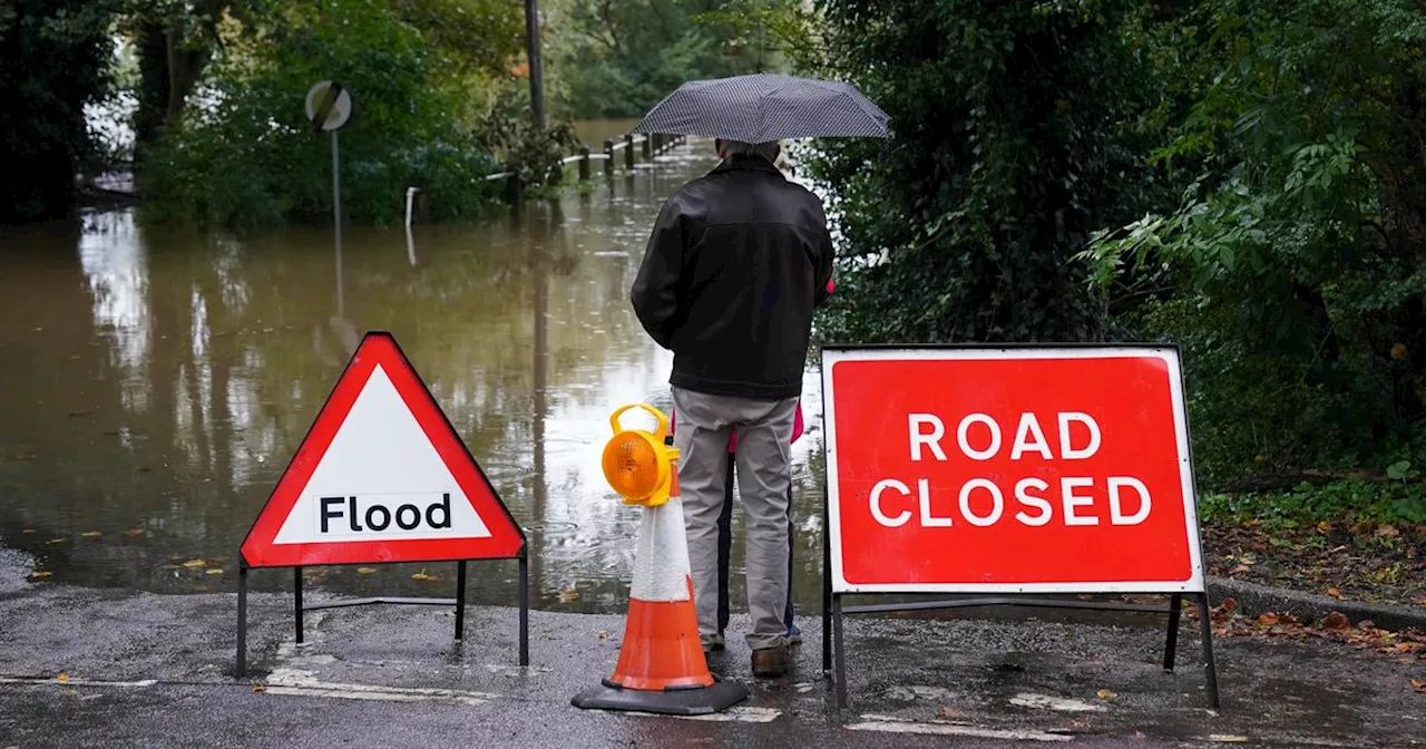
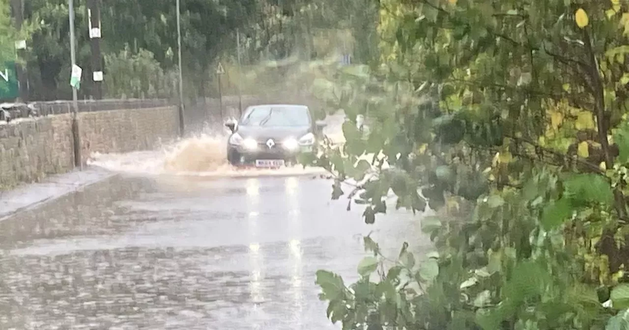
Heavy rain and strong winds could bring the the fresh risk of flooding as Storm Ciaran sweeps its way across the UK. It comes less than two weeks after Storm Babet caused chaos across Nottinghamshire.
Forecasters expect gusts to reach speeds of up to 35mph in Nottinghamshire. The worst of the weather is expected in the early hours of Thursday, November 2.The Met Office forecast for Wednesday, November 1 reads: "Wet and windy start for many as rain moves eastwards, accompanied by strong winds. This clearing to sunshine and showers, perhaps heavy at times with gusty winds. A brief lull late afternoon before Storm Ciarán arrives overnight. Maximum temperature 13 °C.
United States Latest News, United States Headlines
Similar News:You can also read news stories similar to this one that we have collected from other news sources.
 The key difference between Storm Babet and Storm Ciaran in the East of EnglandITV meteorologist Chris Page looks at the uncertainty regarding Storm Ciarán and what it means for the East of England.
Read more »
![]() Storm Ciaran tracker: Met Office shows time storm will hitThe Met Office's weather tracker shows the exact time Storm Ciaran will hit much of the UK.
Storm Ciaran tracker: Met Office shows time storm will hitThe Met Office's weather tracker shows the exact time Storm Ciaran will hit much of the UK.
Read more »
 Storm Ciaran: Police issue NI travel warning as heavy rain continues'Traffic disruption is possible and the public are being asked to consider their journeys and take extra care if travel is necessary.'
Read more »
 PSNI warns against travel due to heavy rain and Storm CiaránThe PSNI advises people not to travel due to weather warnings for heavy rain and the arrival of Storm Ciarán. Multiple warnings have been issued by the Met Office for rain until Thursday, with an amber warning in place for Armagh, Antrim, and Down. The Department for Infrastructure is preparing for the potential of localized flooding.
Read more »
 Met Office issues urgent Storm Ciarán weather warning for YorkshireThe weather is expected to take a turn for the worst on Thursday
Read more »