
The northeasterly surface windflow and trough or extension of a low pressure area will bring rains over parts of the country on Monday, PAGASA said in its weather forecast.
The northeasterly surface windflow and trough or extension of a low pressure area will bring rains over parts of the country on Monday, PAGASA said in its weather forecast.
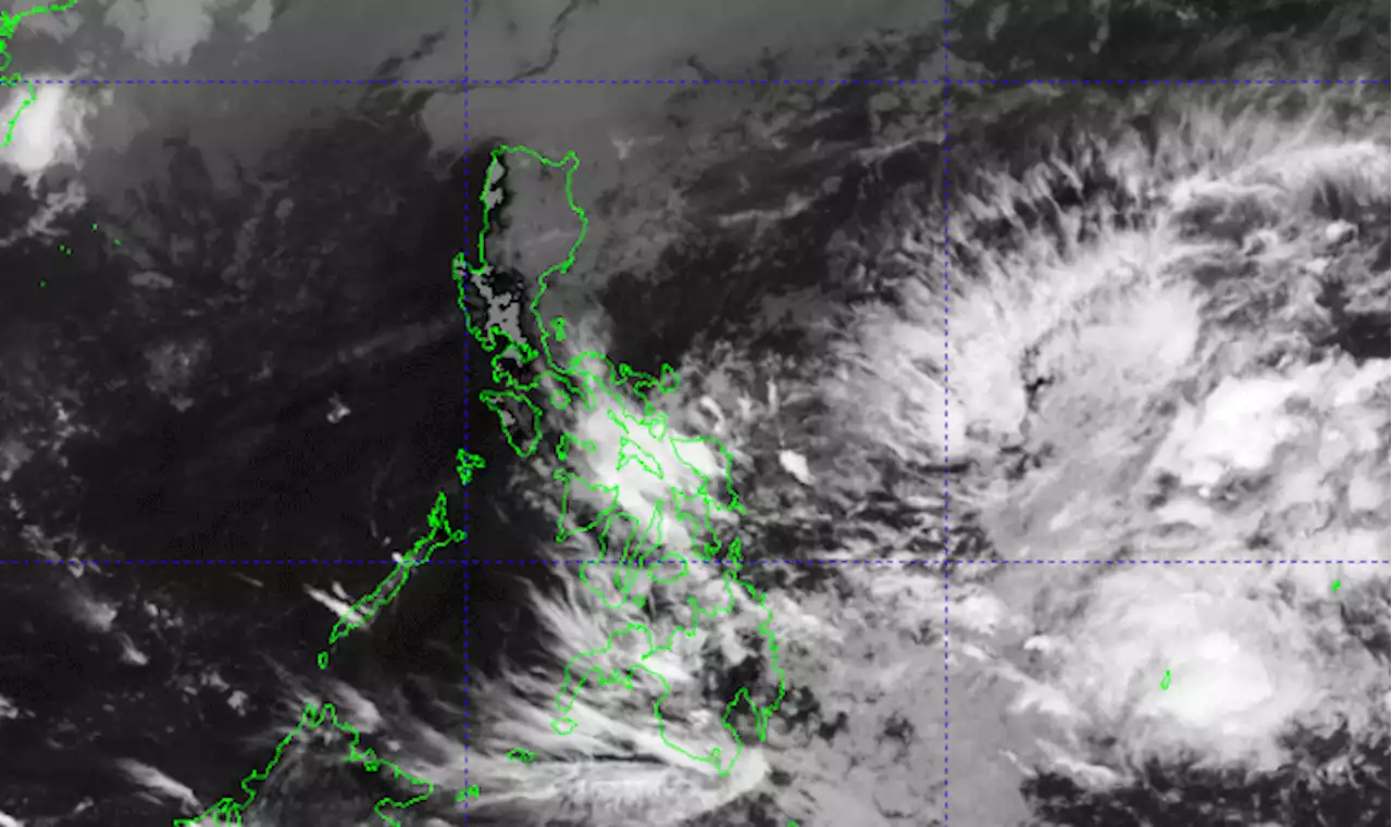
Cagayan Valley will have cloudy skies with rains due to the northeasterly surface windflow affecting Northern and Central Luzon. Flash floods or landslides may result due to moderate to at times heavy rains. Central Luzon, Ilocos Region, and Cordillera Administrative Region may expect partly cloudy to cloudy skies with light rains due to the northeasterly surface windflow.The LPA's trough will bring cloudy skies with scattered rain showers and thunderstorms over Eastern Visayas and Caraga. Moderate to at times heavy rains may result in flash floods or landslides.
Meanwhile, Metro Manila and the rest of the country will have partly cloudy to cloudy skies with isolated rain showers or thunderstorms due to the LPA's trough or localized thunderstorms. During severe thunderstorms, flash floods or landslides may possibly occur. Coastal waters will be moderate to rough in the seaboards of Luzon and the eastern section of Visayas, and slight to moderate elsewhere in the country.
United States Latest News, United States Headlines
Similar News:You can also read news stories similar to this one that we have collected from other news sources.
 LPA’s trough, northeasterly surface wind flow affecting parts of PH — PAGASATwo weather systems are bringing cloudy skies with rains over most of the Philippines, the state weather bureau said on Sunday morning, April 9. | ManilaBulletin READ:
Read more »
 Northeasterly surface windflow to bring rains over Cagayan Valley, CordilleraThe northeasterly surface windflow continues to affect Northern and Central Luzon on Sunday, PAGASA said in its weather forecast.
Read more »
 Northeasterly surface wind flow to affect Central, N. LuzonThe northeasterly surface windflow or the initial blast of the northeast monsoon or “amihan,” is currently affecting Northern and Central Luzon and may bring partly cloudy to cloudy skies with light rains in the next 24 hours. ManilaBulletin READ:
Read more »
 Northeasterly surface windflow to affect parts of LuzonThe northeasterly surface windflow will continue to affect Northern and Central Luzon, according to weather bureau PAGASA on Saturday.
Read more »
 Pagasa: Cloudy Easter Sunday with possible rain showers as LPA nearsThe trough or extension of the low pressure area outside the Philippine area of responsibility is forecast to bring rain to parts of the Visayas and Mindanao on Sunday, according to the Pagasa. | zacariansINQ
Read more »
 Pagasa: No imminent storm threat from LPA off Mindanaohttps://www.youtube.com/watch?v=ZXv_o_cSgco MANILA, Philippines — The low - pressure area (LPA) east of Mindanao has a slim chance of intensifying into a tropical cyclone within the
Read more »