Another mainly sunny and hot day for Alabama with temperatures in the upper 90s and low 100s. The heat advisory continues today for all of Alabama and through Saturday evening for much of Central Alabama as heat index values continue to be in the ...
Scattered showers and storms are in the forecast the next 24 hours, again, Big HEAT, Big STORMS, and any storms that develop will pack a punch and could become locally severe with damaging winds and hail. Of course, all summer storms produce tremendous amounts of light and torrential tropical downpours.
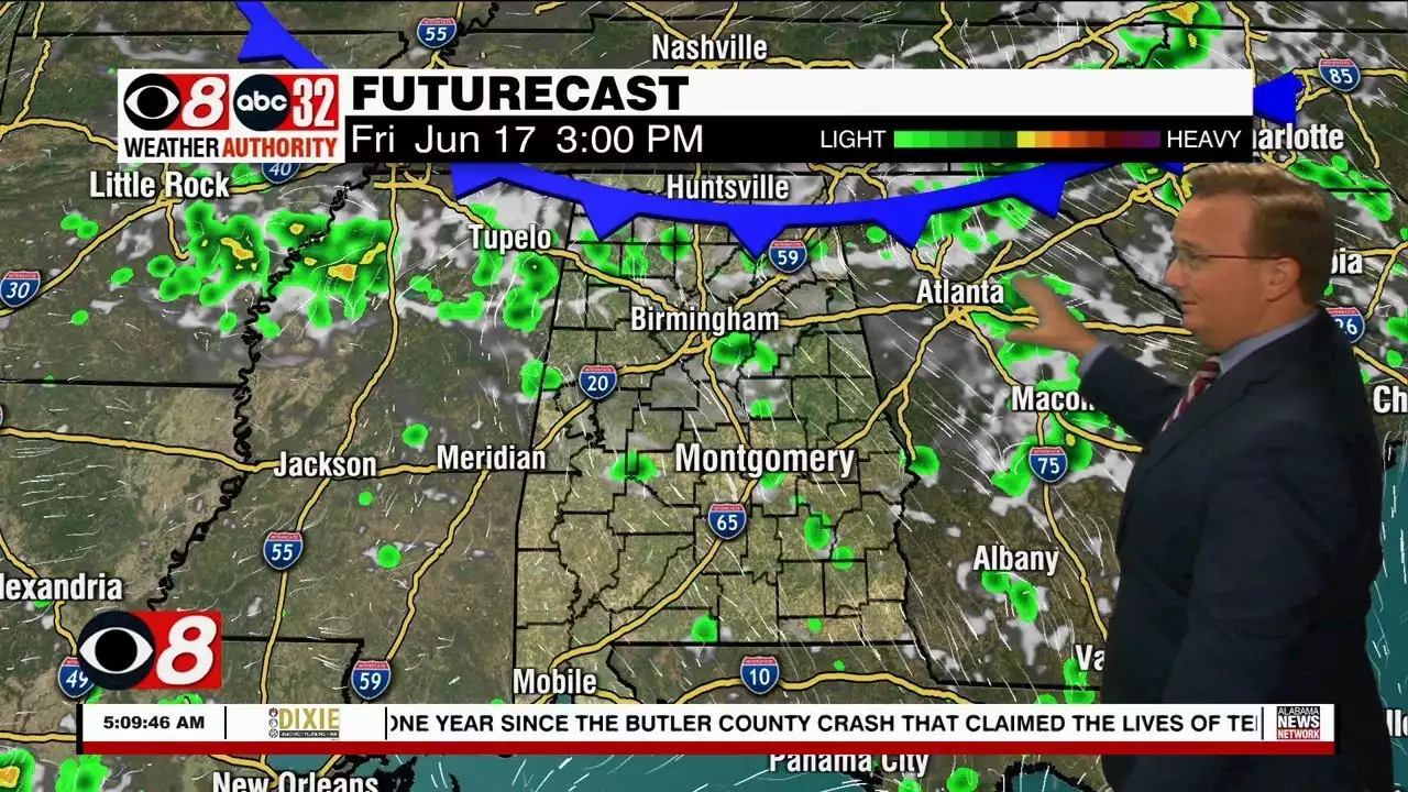
For tomorrow, the heat advisory continues for portions of Central Alabama and temperatures climb into the upper 90s again tomorrow. As the front sinks southwest through the state, we are likely to see some storms develop, and portions of West and Southwest Alabama have been included in a risk of severe storms tomorrow.
By late tomorrow, the front will push south to the Gulf Coast, allowing a drier air mass to move into the state this weekend. Humidity values will be lower especially on Sunday, so the heat will not be as oppressive. Expect highs in the mid 90s Sunday with a mainly sunny sky. Sunday morning will be very nice with lows in the upper 60s.
NEXT WEEK: The upper ridge strengthens and temperatures will increase…Highs much of next week will be in the mid to upper 90s and low 100s. Next week looks to be hotter than this week, as far as temperatures, but humidity levels may be a bit lower. Rain chances look to be generally less than 10% each day with only isolated afternoon and evening storms possible.
IN THE TROPICS: All remains quiet for now, but a trough of low pressure located along the coast of Honduras is producing disorganized showers and thunderstorms over the northwestern Caribbean Sea. Some gradual development is possible today while the disturbance drifts west-northwestward over the Gulf of Honduras. Subsequent development is unlikely once the system moves inland over northern Central America and southeastern Mexico Saturday.