
Scientists have discovered a vast underground aquifer beneath the volcanic rocks of Oregon's Cascades, holding at least 81 cubic kilometers of water—a finding that has significant implications for water management and volcanic hazard assessment in the region.
Scientists have mapped the amount of water stored beneath volcanic rocks at the crest of the central Oregon Cascades and found an aquifer many times larger than previously estimated -- at least 81 cubic kilometers. That's almost three times the maximum capacity of Lake Mead, the currently overdrawn reservoir along the Colorado River that supplies water to California, Arizona and Nevada, and greater than half the volume of Lake Tahoe.
The finding has implications for the way scientists and policymakers think about water in the region -- an increasingly urgent issue across the Western United States as climate change reduces snowpack, intensifies drought and strains limited resources. It also shapes our understanding of volcanic hazards in the area. Magma interacting with lots of water often leads to explosive eruptions that blast ash and gas into the air, rather than eruptions with slower-moving lava flows. 'It is a continental-size lake stored in the rocks at the top of the mountains, like a big water tower,' said Leif Karlstrom, a UO earth scientist who led the study alongside collaborators from Oregon State University, Fort Lewis College, Duke University, the University of Wisconsin, the U.S. Forest Service and the U.S. Geological Survey. 'That there are similar large volcanic aquifers north of the Columbia Gorge and near Mount Shasta likely make the Cascade Range the largest aquifer of its kind in the world.' Most Oregonians rely on water that originates from the Cascades. For example, the McKenzie River, which supplies most of Eugene's drinking water, begins high in the mountains at the spring-fed Clear Lake. But the discovery of this underground aquifer's size was a surprise. 'We initially set out to better understand how the Cascade landscape has evolved over time, and how water moves through it,' said study co-author Gordon Grant, a geologist with the Forest Service.'But in conducting this basic research, we discovered important things that people care about: the incredible volume of water in active storage in the Cascades and also how the movement of water and the hazards posed by volcanoes are linked together.' The western Cascades are characterized by steep slopes and deep valleys carved out by rivers. The high Cascades, meanwhile, are flatter, dotted with lakes and volcanic topography such as lava flows. The Cascade Range has been built up by volcanic activity over millions of years, making the exposed rocks in the high Cascades much younger than those in the western Cascades. As a result, the transition zone between the western Cascades and the high Cascades around Santiam Pass is a natural laboratory for understanding how volcanoes have shaped Oregon's landscape. 'What motivates our work is that it's not just how these landscapes look different topographically. It's that water moves through them in really different ways,' Karlstrom said. To better understand the flow of water through different volcanic zones, the team took advantage of projects begun in the 1980s and 90s. Past scientists had drilled deep into the ground and measured temperatures at different depths as part of the search for geothermal energy resources associated with the many hot springs that pepper the Cascades landscape. Normally, rocks get hotter as you go deeper into the earth. But water percolating downward disrupts the temperature gradient, making rocks a kilometer deep the same temperature as rocks at the surface. By analyzing where the temperature starts to pick up again in these deep drill holes, Karlstrom and his colleagues could infer how deeply groundwater was infiltrating through cracks in the volcanic rocks. That allowed them to map the volume of the aquifer. Previous estimates of water availability in the Cascades took the springs at face value, measuring river and stream discharge. Instead, Karlstrom and his colleagues went deeper -- literally. But since those holes weren't originally drilled with the intent of mapping groundwater, they don't cover every area where one might like to collect such data. So the new estimate of the size of the aquifer is a lower bound, and the actual volume might be even bigger stil
Environment AQUIFER OREGON CASCADES WATER RESOURCES CLIMATE CHANGE VOLCANIC HAZARDS
United States Latest News, United States Headlines
Similar News:You can also read news stories similar to this one that we have collected from other news sources.
Oregon Ducks' Ra'Shaad Samples To Leave Oregon For Head Coaching Job?Oregon Ducks running back coach Ra'Shaad Samples is drawing some attention in coaching searches. Most recently, Samples was listed as a finalist for the head coaching job at Sam Houston State in Huntsville, Texas.
Read more »
Ohio State Crushes Oregon in College Football Playoff SemifinalOhio State overwhelms Oregon in the CFP, raising questions about Oregon's playoff berth.
Read more »
 Oregon Ducks' Bryce Boettcher Returns To Oregon Football: Houston Astros Draft PickThe Oregon Ducks are gearing up for another championship run in 2025, and a familiar face will play a pivotal role.
Read more »
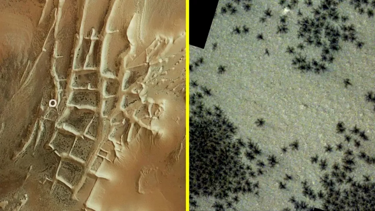 10 Amazing Things Found on Mars in 2024This year saw significant Martian discoveries, including the revelation of a massive underground ocean.
Read more »
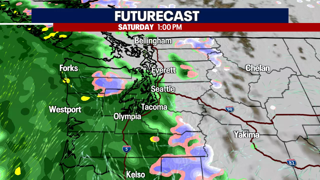
 Seattle weather: Winds relax Sunday, winter storms remain in CascadesGusty winds blew into Western Washington overnight and early Saturday. Winds peaked around 50-60 mph around the coast, the Inlet and even into portions of the North Sound near Everett. Power outages and some minor tree damage were reported around the area. The winds will continue to relax throughout the night and Sunday.
Read more »
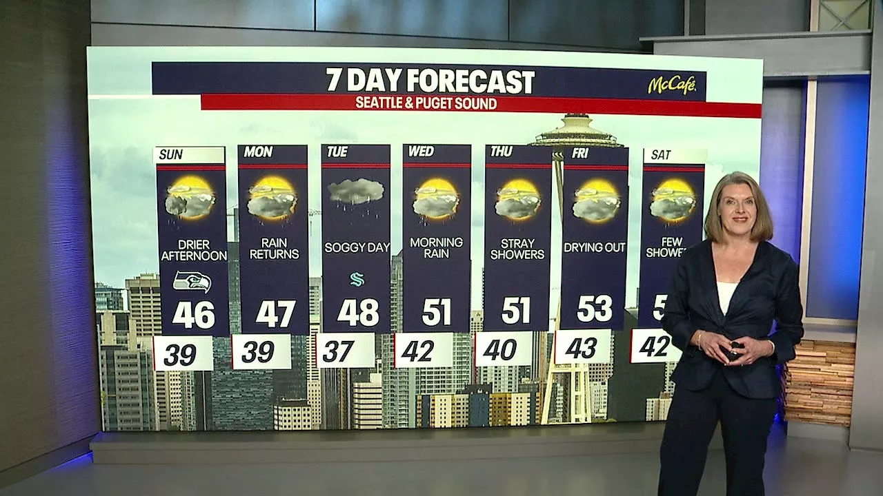
 Weekend Snow and Rain Expected for Seattle and the CascadesSeattle and the Cascade Mountains are bracing for a weekend of snow and rain. The lowlands will experience rainfall, transitioning to snow at higher elevations. Winter driving conditions are expected.
Read more »