
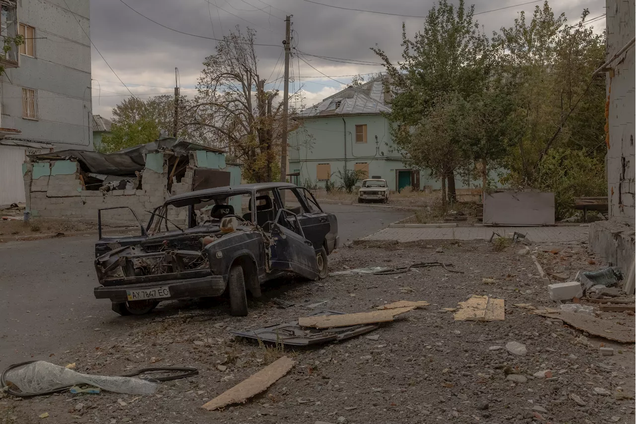
After the reported capture of Selydove, Russian troops are continuing their offensive in the eastern and southern Donetsk region.
Russian forces are likely to try to 'exploit the cracks' in Kyiv's operations in the Donetsk region as the war heads into a third winter, a military analyst whose map shows what might be in store on the front in the coming months told Newsweek.Days after Vladimir Putin's troops were pictured raising their flags over a municipal building in Selydove, the defense ministry in Moscow said Tuesday its troops had captured the important staging area for Ukraine's defenses.
This pace of advance and the aerial capabilities could have serious consequences for Ukraine, which will not be able to bring construction equipment very close to the front, at least without high troop losses.He said the southern push would continue to make progress through the unfortified fields, also towards Andriivka, forcing Ukrainian troops out of the heavily fortified Kurakhove area.
United States Latest News, United States Headlines
Similar News:You can also read news stories similar to this one that we have collected from other news sources.
 Map Shows Which States Have the Biggest SpendersAs Americans grapple with the effects of high inflation, a new map showcases the states that spend the most on goods and services.
Read more »
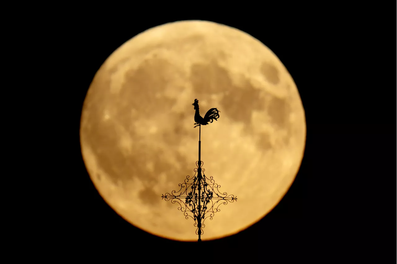 October Supermoon: Map Shows Best Spots To See 2024's Biggest Full MoonStargazers in the U.S. will be dazzled this week as the closest—and largest—supermoon of the year graces the skies.
Read more »
 Ukraine War Map Shows Russia Ramp Up Gains Across Donetsk Front LineRussian forces have made 'significant progress' in parts of the Donetsk region, according to an open-source intelligence outlet.
Read more »
 Ukraine Map Shows Russia Claiming Key Village in Donbas PushRussian troops raised a flag over an administrative building in Selydove, Donetsk region.
Read more »
 Map Shows 'Landmark' NATO Spy Flight Along Russia's Western BorderA Royal Air Force RC-135W plane has completed a surveillance journey from NATO's most southerly point in the Mediterranean to the Barents Sea north of Norway.
Read more »
 It Took Astronomers 13 Years to Create the Biggest Infrared Map of the Milky WayAstronomers have spent the past 13 years capturing images of the Milky Way to create the largest infrared map of our galaxy.
Read more »