
The high-speed rail route would bring travelers from San Francisco to Los Angeles in less than three hours.
A series of maps show the full extent of California's proposed high-speed rail routes that would provide an efficient and quick way of travel between the state's major cities.Renewed interest has surfaced in high-speed rail travel after Brightline West, a new all-electric, 218-mile rail line bringing passengers from Las Vegas, Nevada, to Rancho Cucamonga, California, broke ground on Monday after construction was delayed for several years.
'Electrifying the existing rail corridor from San José to Gilroy will modernize the rail corridor for electrified high-speed rail service and allow Caltrain to extend electrified service to southern Santa Clara County,' the website said.Central California projectThe middle stint of the statewide project travels from Merced to Bakersfield with rail stations at Fresno and Kings/Tulare. Construction is most promising in this segment.
United States Latest News, United States Headlines
Similar News:You can also read news stories similar to this one that we have collected from other news sources.
 Map Shows New US High Speed Rail RouteThe new rail line broke ground on Monday and construction is expected to finish by summer 2028.
Read more »
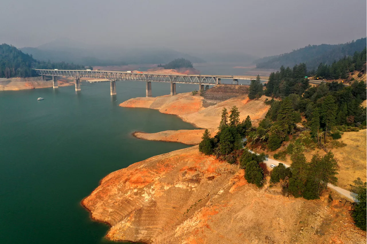 California Rainfall Map Shows How State's Biggest Reservoir Will ChangeThe third in a series of back-to-back storms will bring more rain to California this weekend.
Read more »
 California Map Shows Where State Will Become Underwater From Sea Level RiseSea level rises could cause areas along California's seaboard to be flooded or entirely consumed by water, modeling suggests.
Read more »
 California Map Shows Where People Will See Huge Increases in Water BillsAnother rise in rates means millions will have to pay at least 8.5 percent more to turn on their taps.
Read more »
 Russia Map Shows Ukraine Drones Hit Shocking New Milestone'For the first time, a Ukrainian drone flew to a target 1,200 km [745 miles] away,' the Crimean Wind Telegram channel said.
Read more »
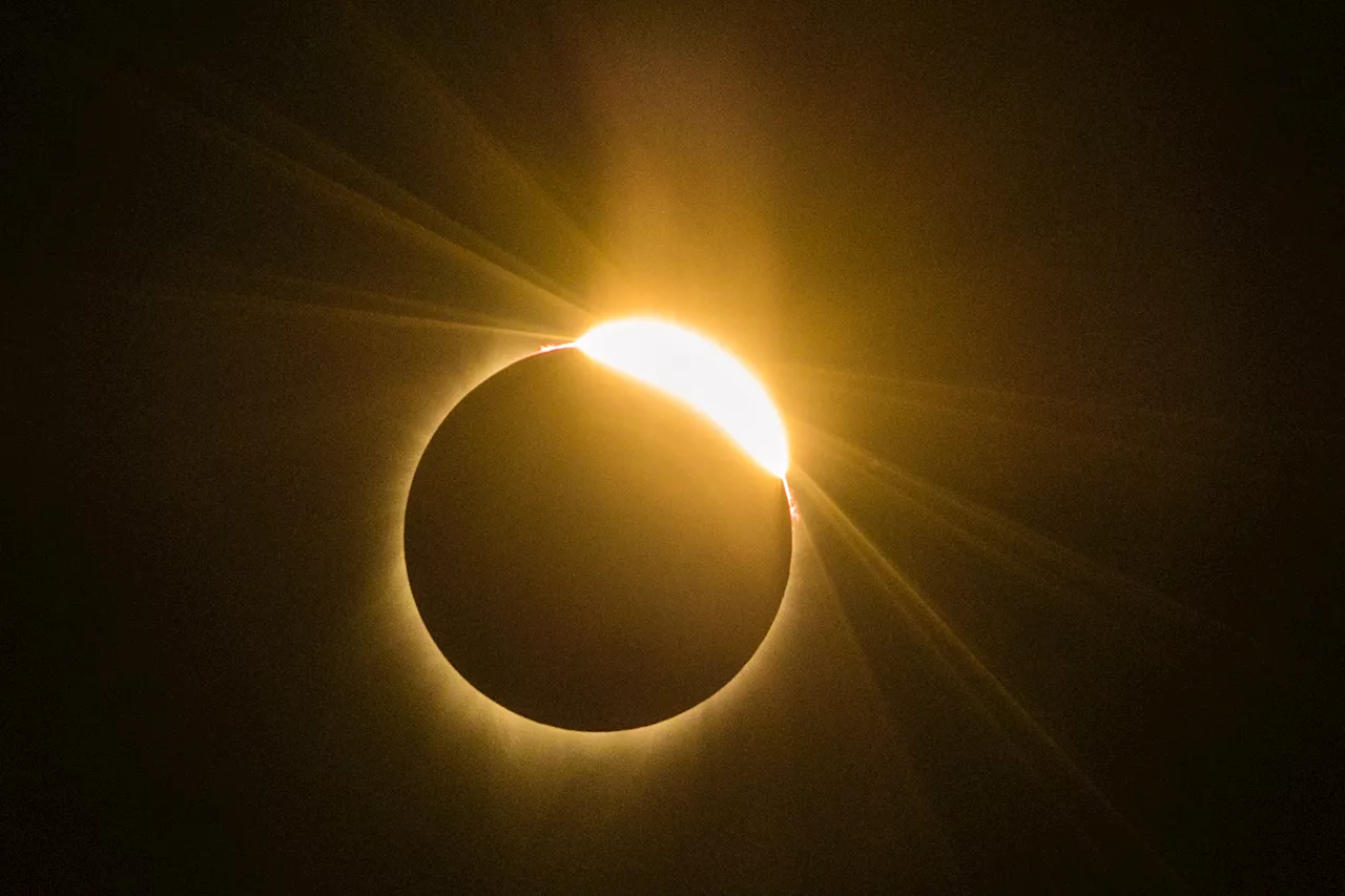 New Solar Eclipse Map Shows Change in Places Where Moon Will Block SunMore accurate calculations have shifted the path of totality.
Read more »