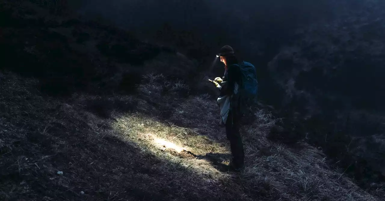
The SARSAT satellite system is a kind of celestial lifeguard for explorers, boaters, and aviators who might be in need of search and rescue.
Once they hear the call, that information is relayed to a ground station, which independently computes the beacon’s location. In the US, the information sluices into computers at the US Mission Control Center in Maryland, operated by NOAA.
“The third system combines the best of both worlds,” says Marisa Gedney, a Sarsat operations and outreach officer with NOAA. They each see a third of the globe and together cover its whole span. At any given time, at least four satellites would have eyes on any given earthly location, enabling better pin drops.
There is a delicate balance between making an SOS call too easy to trigger and making it too hard.
NOAA is also working to make position-determination better in unstable conditions. Reich, for instance, just finished putting reference beacons out to sea on buoys to study how the ocean’s waves, swells, and currents affect the accuracy of their perceived location. He recently got the first picture back of the buoy in the middle of the ocean—alone, in its own way, but not lost.
