A brush fire ignited in Mission Valley near Fashion Valley Mall, prompting evacuations and prompting a large response from firefighters. The fire, known as the Friars Fire, was reported around noon on Friday, January 20th, 2023, and quickly grew to 2 acres. The fire threatened homes in the Fashion Hills housing complex and prompted evacuations for residents in certain areas.
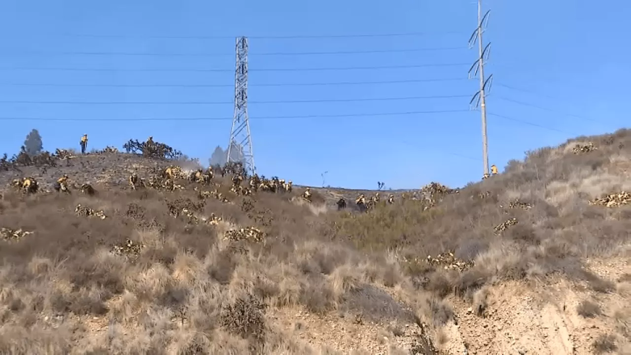
A brush fire in Mission Valley , San Diego , ignited on a hillside across from Fashion Valley Mall , prompting evacuation orders due to the immediate threat to structures. The blaze, dubbed the Friars Fire , was reported around noon on the 7000 block of Friars Road, a densely populated area in Mission Valley . First responders arrived within six minutes, according to San Diego Fire-Rescue. Cal Fire estimated the fire's size at 2 acres.
Flames, captured by SkyRanger 7, raced uphill towards the 7000 block of Camino Degrazia, a housing complex known as Fashion Hills. The smoke plume was visible from Interstate 15 at one point. Nearly 100 firefighters from various agencies, including the city of Poway, battled the blaze with 15 fire engines, three brush rigs, and three firefighting helicopters. San Diego Gas & Electric proactively shut off power to approximately 3,500 customers in the area as a safety precaution. This action was taken amidst fire weather conditions that posed a risk of downed trees and power lines. Across the county, approximately 16,750 customers were without power. The cause of the fire remained unknown, but it sparked during a red flag warning issued due to gusty winds and low humidity, both factors that can exacerbate wildfires. The Office of Emergency Services (OES) issued evacuation orders for the area north of Friars Road. Residents in the designated pink zones were ordered to evacuate immediately, while those in the yellow zones were advised to prepare for potential evacuation. A temporary evacuation point was established at the Snap Dragon West Parking Lot, 2101 Stadium Way, in San Diego, east of the fire. Friars Road west of State Route 163 was closed for mop-up operations of hot spots, and the California Highway Patrol reported the closure of both off-ramps north and south from the freeway. The San Diego County Office of Education's Linda Vista campus and Linda Vista Innovation Center were evacuated and closed for the remainder of the day. The fire has been successfully contained, and the evacuation warning has been lifted. The SDCOE Linda Vista locations will remain closed today and resume regular business hours tomorrow, January 22nd
Friars Fire Mission Valley San Diego Brush Fire Evacuation Fashion Valley Mall California Highway Patrol San Diego Gas & Electric Red Flag Warning
United States Latest News, United States Headlines
Similar News:You can also read news stories similar to this one that we have collected from other news sources.
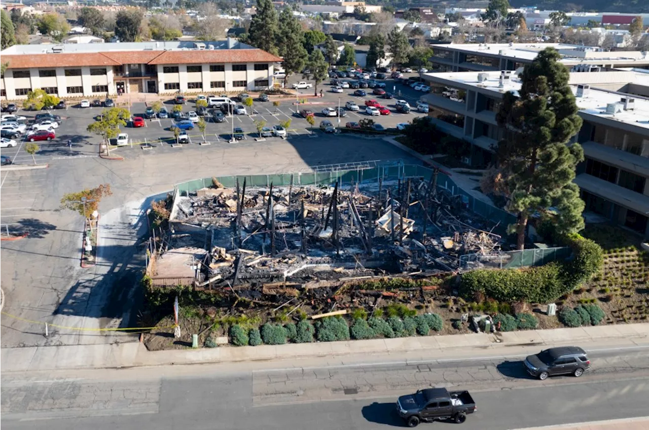 Suspect arrested in Christmas Day fire at vacant Mission Valley buildingSan Diego police announced Thursday that an arrest had been made in a Dec. 25 arson fire at a former dance club in Mission Valley. This was the second fire at the site since October.
Read more »
 Cal Fire's Fire Hazard Severity Zone Map Shows California Fire RiskCal Fire's new Fire Hazard Severity Zone map allows Californians to search for an address and see the location's probability of being affected by fire. The map assesses fire hazard, rather than risk, based on the physical conditions that create a likelihood of fire behavior over a 30 to 50-year period. The map considers terrain, local weather, and fire history over 50 years. Areas are ranked as moderate, high, or very high fire severity. The map is effective as of April 1, 2024 and focuses on areas under state responsibility, excluding federal land like the Sierra Nevada Mountains and some parts of the Bay Area.
Read more »
 Cal Fire's Fire Hazard Severity Zone Map Helps Californians Assess Fire RiskCal Fire's new Fire Hazard Severity Zone map allows residents to search for an address and see the location's probability of being affected by fire. This map focuses on fire hazard, not risk, and considers factors like terrain, weather, and fire history.
Read more »
 SDPD arrests teen suspected of killing girlfriend in Mission Valley motelPolice said the alleged domestic violence-related death happened at Motel 6 on Hotel Circle North
Read more »
 Map: See where Los Angeles County wildfires are burningThe Palisades Fire, Eaton Fire, Hurst Fire, Lidia Fire and Sunset Fire are burning Friday in Los Angeles County. See updates and locations.
Read more »
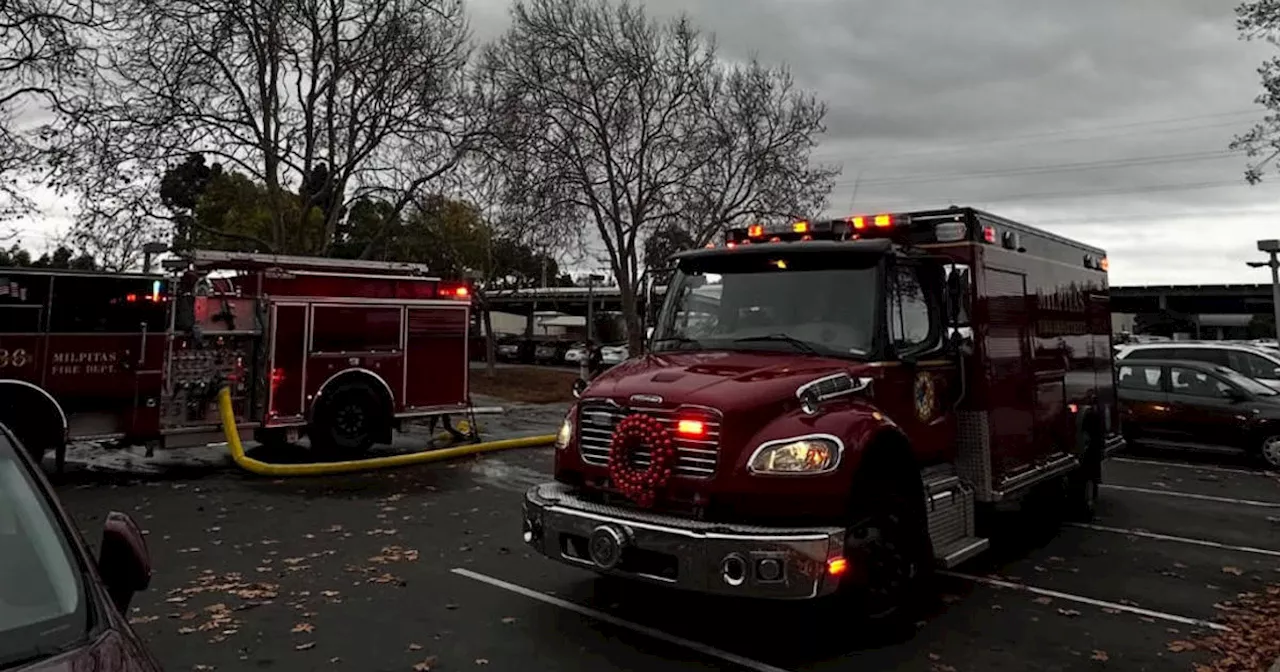 Humane Society of Silicon Valley waives adoption fees after shelter damaged in fireThe Humane Society of Silicon Valley, or HSSV, is waiving adoption fees for all animals starting Thursday after a fire damaged half of its Milpitas shelter last week.
Read more »