
Mark Johnson has been News 5's Chief Meteorologist since 2003.
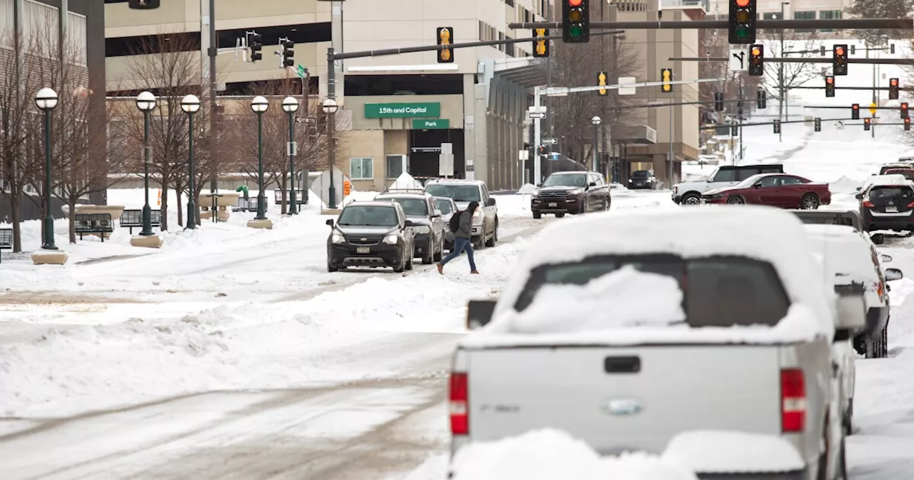
Temps dove overnight with a breezy northeast wind. I'm even tracking some lake effect snow for parts of the snowbelt. Lake Erie is over 90% covered in ice but that's only limiting the lake effect snow machine. Thankfully winds relax midday. Before that happens though, roads will get slick. Be safe. Temps this afternoon feel the effect of that wind. Most of us hold in the middle 20s for afternoon highs. Keep the layers on! Clouds come back tonight ahead of this weekend's winter storm.
Friday: More sunshine but temps struggle! | High: 26ºSaturday: Snow, sleet & freezing rain... accumulation possible. | High: 32ºSunday: Cold air returns with lake effect snow possible - especially early. | High: 30ºMonday: Sun & clouds, cold. | High: 28ºTuesday: More clouds with a shot at snow.
Cleveland Forecast Forecast Northeast Ohio Forecast Northeast Ohio Weather Power Of 5 Weather
United States Latest News, United States Headlines
Similar News:You can also read news stories similar to this one that we have collected from other news sources.
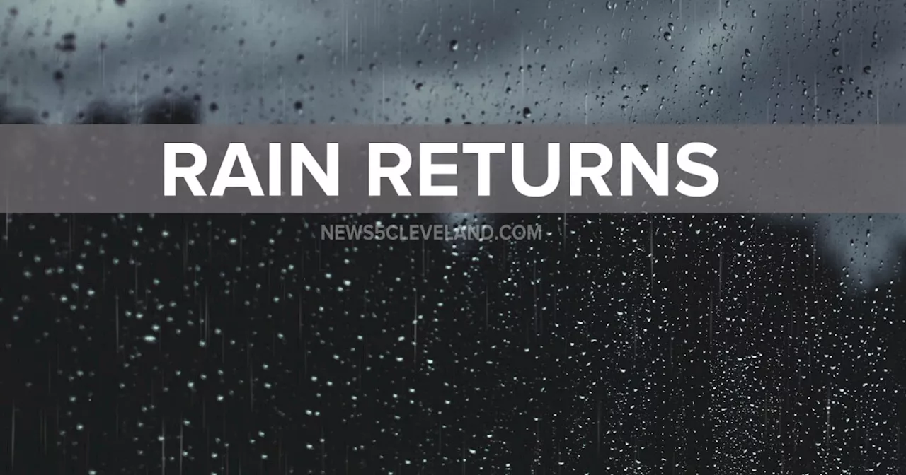 On-and-off rain expected all day before changing to snowMark Johnson has been News 5's Chief Meteorologist since 2003.
Read more »
 Warmer & wetter leading to elevated flood threat from Ice JamsMark Johnson has been News 5's Chief Meteorologist since 2003.
Read more »
 Happy Groundhog Day! Get ready for whiplash weather this weekMark Johnson has been News 5's Chief Meteorologist since 2003.
Read more »
 Wild swings this week with warmth, cold, rain, snow and wind... Strap in!Mark Johnson has been News 5's Chief Meteorologist since 2003.
Read more »
 The cold is back and bringing a few more curveballs this weekMark Johnson has been News 5's Chief Meteorologist since 2003.
Read more »
 Brutal cold today & tomorrow before our next snowstorm rolls inMark Johnson has been News 5's Chief Meteorologist since 2003.
Read more »