The damaging winds that affected Southcentral Alaska on Sunday have subsided, but cooler temperatures and potential snow are on the way.
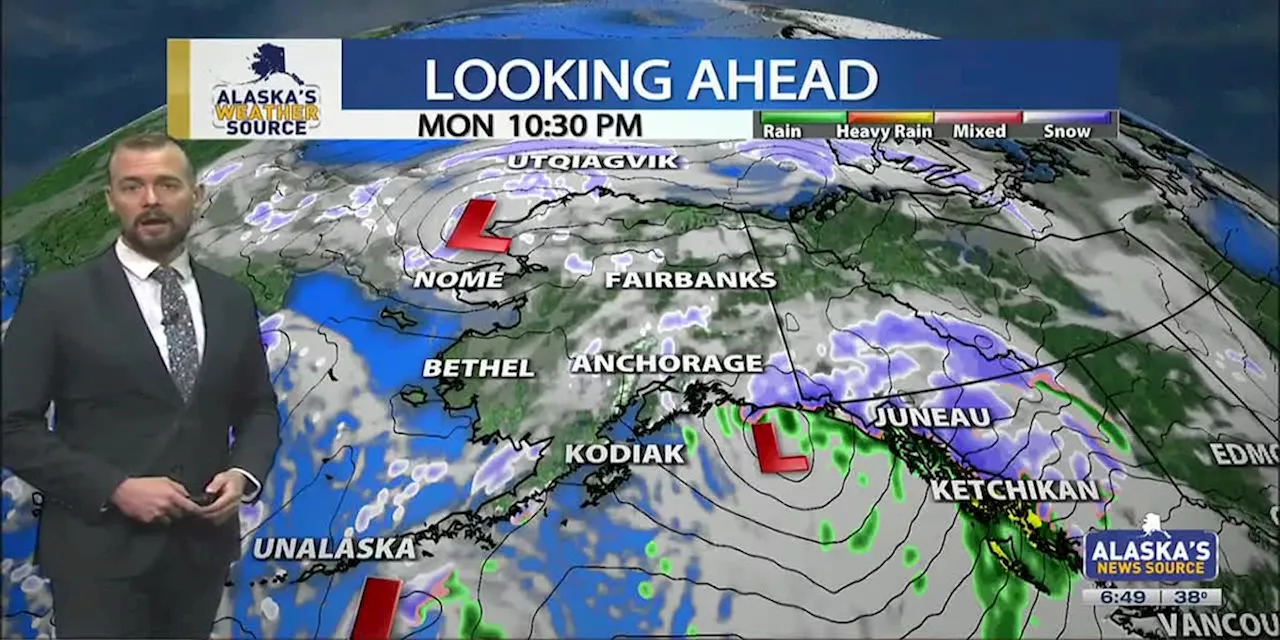
The damaging winds that affected Southcentral on Sunday have died down, with gusts up to 40 mph expected on Monday. While these winds usually won't cause any issues, any debris could blow in gusts today. Statewide, we continue to see gusty conditions with well-above-average warmth. We will begin to see a return to cooler weather this week, with some areas seeing snow in the forecast. It’s shaping up to be a cooler week before another warming trend arrives this weekend.
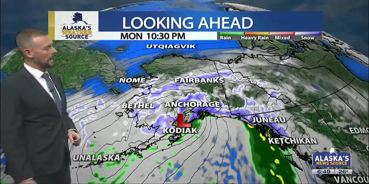
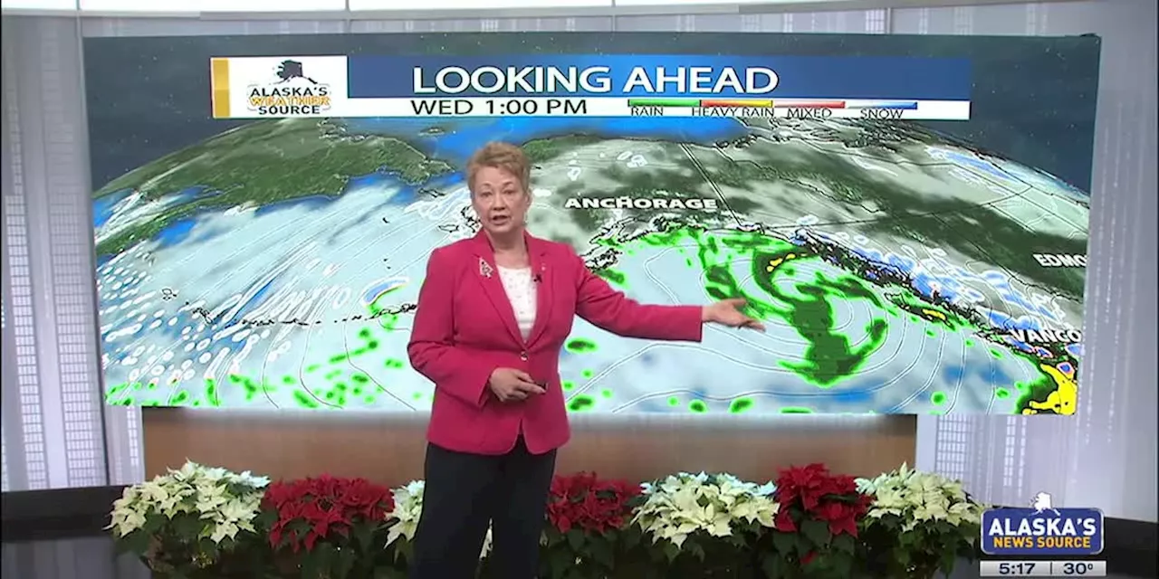
Gusts up to 112 mph were reported across Southcentral yesterday, with the highest wind gusts occurring at the Alyeska weather station. Along the Anchorage Hillside, Bear Valley and Arctic Valley, winds gusted over 100 mph as well, with a few sites having stopped transmitting data early Sunday afternoon. While the winds have subsided, it will still be quite gusty today across parts of Southcentral. While winds will remain with us for the first half of the day, gusts will steadily decrease through the rest of today. Some scattered to periodic rain showers can be expected today as an upper-level disturbance moves ahead this morning. We’ll see the rain showers moving off to the northeast throughout the day, with persistent showers remaining for the gulf coast region. The heaviest band of moisture may set up shop over Thompson Pass, where a few inches of snow accumulation is possible through the early afternoon. While most locations dry out today, another low moves into the region by the middle of the week. There is a slight chance we could see some wintry mix or snow into the night, although most of the moisture should be out of the region by then. Temperatures are set to slowly drop below freezing tonight, with a quick drop off in temperatures by the middle of the week. As a result, expect icy conditions to remain with us. The iciest roads won’t see any significant improvement until Wednesday. The next low to arrive on our doorstep will bring the chance for some snow. This comes as colder air begins to settle back into Southcentral, dropping our highs back into the 20s this week. Right now it looks like inland locations will see little snow accumulation, while coastal regions and the mountains see the best chance for any snow accumulation. Expect highs to remain in the 20s for most of this week, with a gradual warming trend into the weekend.48-hour rainfall totals over the Southeast paint a swath of .5 to 1.5 inches of rain. This persistent flow of moisture will stay with us today and tomorrow where we could see one to three inches of rain. While sea level will primarily see rain, higher elevations will see snow. A winter weather advisory and winter storm warning have been issued for the Klondike and Haines Highway, where several inches of snow accumulation is possible. These alerts are also for Haines, Skagway and surrounding locations. Be prepared for a windy day, as gusts up to 40 mph will be possible today. Later this week, cooler weather is set to spill back into the Southeast. This will lead to a nearly 10 to 15-degree drop in highs by the middle of the week. After spending more than a week with highs in the 40s, we’ll see afternoon highs drop down near freezing by Wednesday. This will lead to areas of snow and wintry mix for the Southeast. Beyond Wednesday, nothing significant looks to impact the Southeast as a ridge builds into the southwest. This will keep things fairly dry into the weekend, with more active weather returning next week.A warm day is expected across the Interior today, with some light snow showers expected. Any snow will bring light accumulation outside of the Eastern Alaska Range, where a few inches is possible. While the high winds near the Alaska Range have subsided, we’ll see gusts upwards of 50 to 60 mph. Some of the strongest wind will remain for Delta Junction and Big Delta, where areas of blowing snow are possible. Due to the recent warming trend, blowing snow won’t be as likely, but the threat still exists through the mountain passes. With winds set to die down and a cold front sweeping across the region into Tuesday, we’ll see the return to typical wintertime conditions. Expect a rapid drop off in temperatures over the next couple of days, which will prove problematic on some of the roads. We’ll see refreezing of any water on roads, sidewalks and parking lots into Tuesday. This will create dangerously slick conditions over the next 24 hours, so take it easy. Any light snow the Interior sees will taper off by Tuesday, with high pressure expected to lead to even colder conditions. By Tuesday night, we’ll see overnight lows drop back below zero. It’s possible some parts of the Interior will drop back near -30 later this week. This will be another short-lived cold snap as warmer weather looks to arrive into the weekend
ALASKA WEATHER WIND SNOW COOLER TEMPERATURES
United States Latest News, United States Headlines
Similar News:You can also read news stories similar to this one that we have collected from other news sources.
 High Winds, Mixed Weather Expected to Impact Southcentral AlaskaA strong low-pressure system moving through the Gulf of Alaska is bringing high winds and a mix of precipitation to Southcentral Alaska. The strongest winds are expected to hit Portage, where gusts of up to 100 mph are possible.
Read more »
 Alaska Weather Forecast: Winter Conditions and High Winds Through ChristmasAlaska experiences a mix of winter weather this Christmas, with high winds and snow warnings issued for several areas. Anchorage sees a unusually low amount of snowfall for December.
Read more »
 Alaska Weather Update: Winter Weather Moving Through StateVarious winter weather conditions, including high winds and snow, are expected to impact different parts of Alaska over Christmas and the start of Hanukkah.
Read more »
 Santa Ana Winds: The Fiery Winds of Southern CaliforniaExplore the powerful Santa Ana winds, their origins, effects on Southern California's landscape and the role they play in wildfires.
Read more »
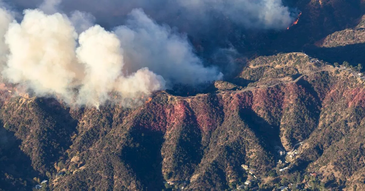 Calmer Winds Aid Firefighters in LA, but Santa Ana Winds LoomWhile calmer winds and higher humidity allowed firefighters to make progress battling the devastating Palisades and Eaton fires in Los Angeles, officials warned that Santa Ana winds will return next week, posing a continued threat. Despite some containment, the fires remain dangerous, with the death toll expected to rise. The respite provided an opportunity for aerial assaults, but the fires have already caused widespread damage, destroying or damaging over 10,000 structures.
Read more »
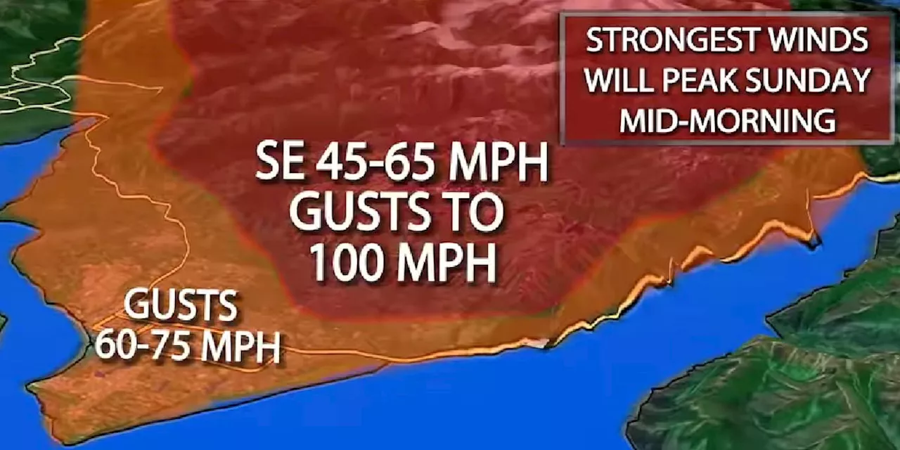 Live Blog: Winds reach nearly 100 mph in Anchorage, strong winds continueAnchorage will see winds in higher elevations and along the inlet start ramping up out of the southeast 45 to 65 miles per hour, and gusting 80 to 100 mph! But this event will also see strong winds spread through the Anchorage bowl as well. Winds could gust up to 75 miles per hour late Saturday to Sunday.
Read more »