
NUVIEW, a Florida based startup, is building a constellation of satellites, using the LiDAR technology.
Satellites passing over us take photos of our planet using high-resolution cameras with large lenses and then send them back to Earth. Apart from tracking human activity, satellite images help in meteorology, weather forecasting, and monitoring our physical environments such as air, water, and vegetation.
While the current satellite imagery provides a 2D view of the planet, a space research and technology company based out of Florida announced that it will soon be able to capture and map the entire surface of the Earth in 3D., is building a constellation of satellites, using LiDAR technology, which will collect data ‘more than 100 times faster than current commercial aerial solutions.’The company made the announcement during the Geospatial World Forum in Rotterdam, the Netherlands.
"NUVIEW is thrilled to be leading a new era in geospatial technology to provide the first, most complete, high-resolution 3D point cloud of the Earth's surface," said Clint Graumann, CEO & Co-Founder of NUVIEW, in an . "Our LiDAR satellite constellation will offer a wealth of information that has never before been available at scale, driving innovation and progress throughout numerous industries and revolutionizing the way we understand and interact with our planet.”, LiDAR utilizes pulsed lasers to accurately and constantly measure distances to a given target or area. LiDAR sensors, based around pulse laser beams, are light-based mapping and measurement tools that are useful in a variety of sectors.
NUVIEW plans to employ LiDAR data to monitor infrastructure development, urban growth, and natural events, which will play a critical role in climate change, forestry, and disaster response. As per a press release by the company, NUVIEW’s technology will enable farmers to optimize crop yields and water usage, while city planners can create more efficient and sustainable urban environments. The geospatial industry is expected to grow up to $1.
United States Latest News, United States Headlines
Similar News:You can also read news stories similar to this one that we have collected from other news sources.
 Startup's Proposed Satellite Swarm Would Create 3D Maps of Earth's Entire SurfaceNUVIEW's satellite constellation will use LiDAR to create its 3D maps, which could prove beneficial to farmers and urban planners.
Read more »
 Ancient Roman camps from secret military mission spotted using Google EarthAn archaeologist using Google Earth has spotted the traces of three Roman military camps in the southern Jordanian desert, prompting a rethink of the region's history.
Read more »
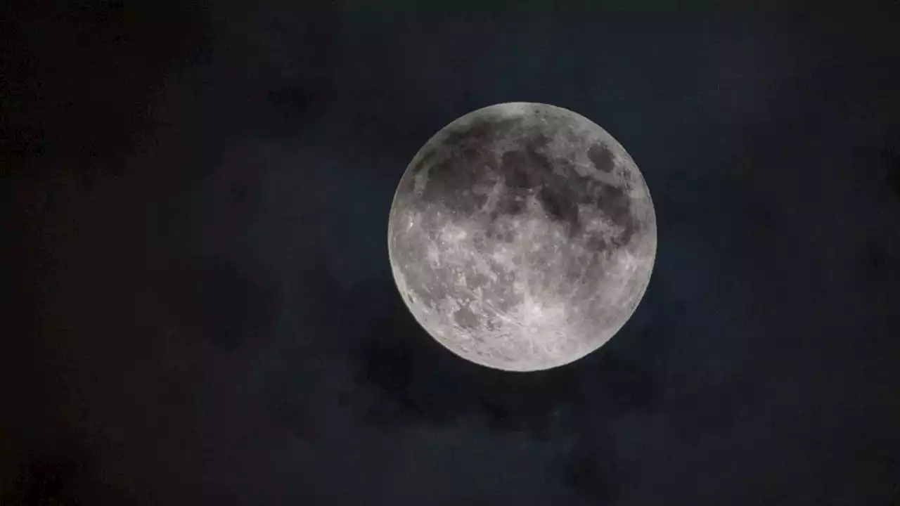 How to see the full 'Flower Moon' eclipsed by Earth's shadow this weekendMay's full 'Flower Moon' rises on Friday (May 5) during the deepest penumbral eclipse until 2042. Only part of the world will be able to see it.
Read more »
 Extra Extra: The sun could swallow the Earth in 5 billion yearsThe sun could swallow the Earth, so here are stories to read in the meantime: —Should NYC issue parking tickets based on people's income? —Former NFL star Antonio Brown owns a football team in Albany —A new labor-intensive dessert arrives in NYC +more!
Read more »
 Astronomers catch a glimpse of Earth's fate while watching a star eat a planetAstronomers recently got a glimpse at Earth's fiery fate while watching a distant star devour a nearby planet.
Read more »
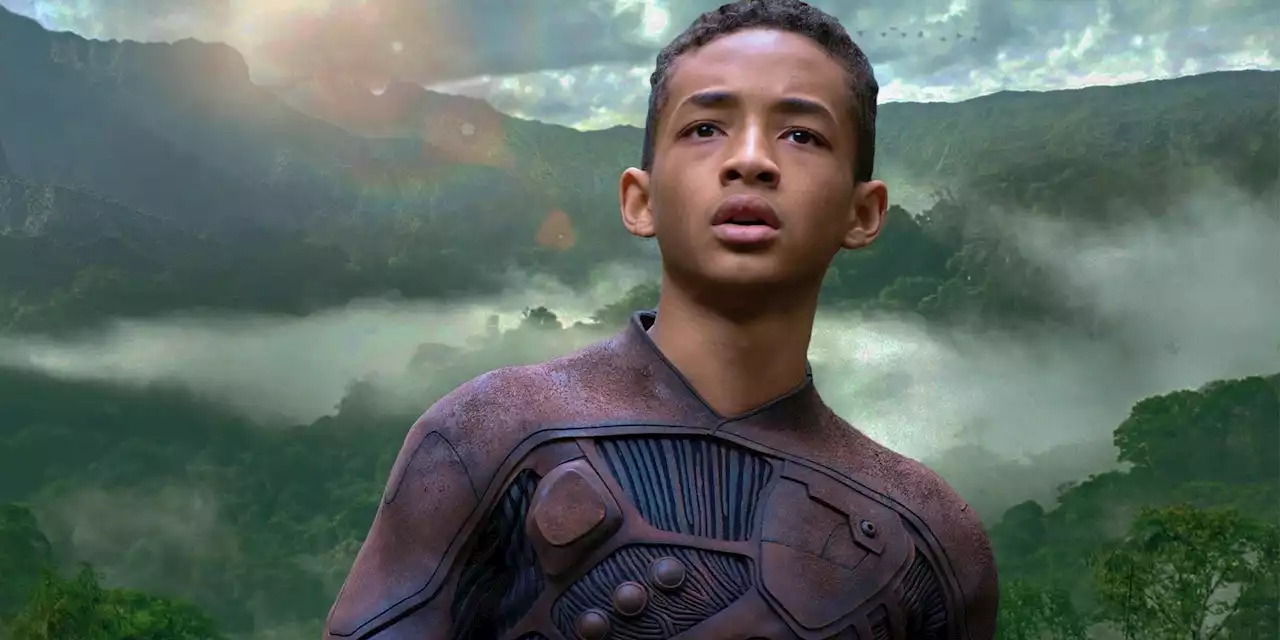 How Old Jaden Smith Was In After EarthAfter Earth cast Will Smith and Jaden Smith as a father and son duo, but how old was the latter during production of the sci-fi adventure?
Read more »