
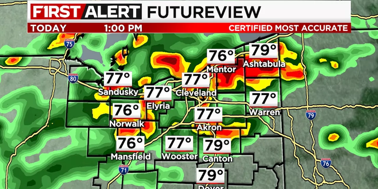
Damaging wind gusts and heavy rainfall are the main risks.
ByCLEVELAND, Ohio - A 19 First Alert Weather Day is in place for Wednesday evening, from around 4 p.m. to midnight, due to the potential for showers and storms, a few of which may turn severe.
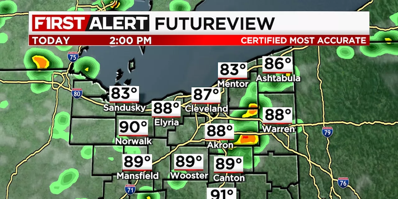
Wednesday is a 19 First Alert Weather Day. Heat and humidity surge back with high temperatures around 90 degrees. These factors, combined with an approaching front, provide the fuel needed for storm development and severe weather potential as well. Storms move out into early Thursday morning. The Fourth of July is looking mostly dry. However, the evening and overnight hours may see a few storms crossing the region. Timing could be as early as 9 p.m. though most activity looks to hold off until near or after midnight.
United States Latest News, United States Headlines
Similar News:You can also read news stories similar to this one that we have collected from other news sources.
 Columbus Weather: Weather Alert Day on Saturday with potential severe stormsSuch a beautiful Thursday afternoon! Humidity is down, temperatures are comfortable, and we have a starry night on the way. Friday sees heat and humidity return
Read more »
 19 First Alert Weather Day: Scattered storms overnight; some may produce heavy rainHumid today with isolated morning showers then thunderstorms move in late this afternoon.
Read more »
 19 First Alert Weather Day: Severe storms this afternoon; damaging winds possibleHumid today with afternoon showers and thunderstorms.
Read more »
 19 First Alert Day: Heat Advisory remains in effect; gusty storm possibleHot and humid with isolated showers and storms today.
Read more »
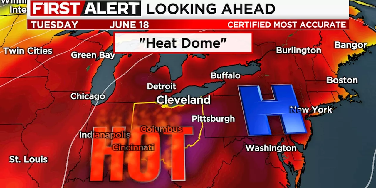 19 First Alert Weather Days Monday through Friday: Long-term heat wave sets upA combination of high heat and humidity may be hazardous.
Read more »
 19 First Alert Day: Heavy rain and a risk of severe storms tomorrowA mix of sun and clouds today.
Read more »